Wieladingen castle ruin — the keep in 3D.
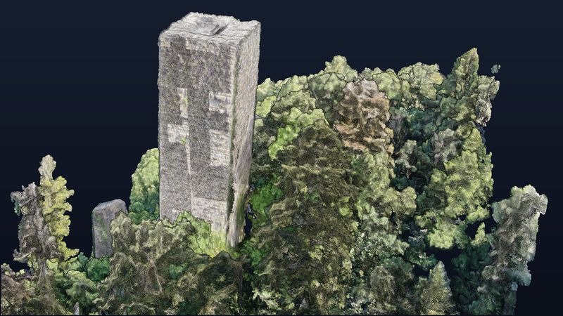
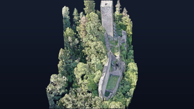
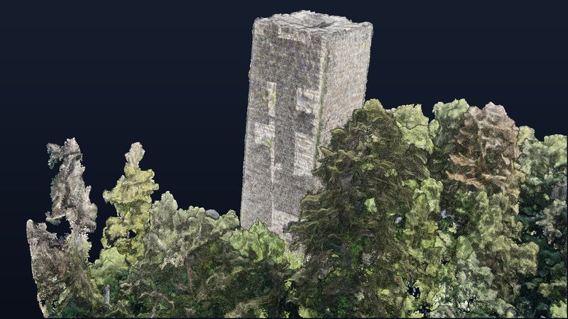
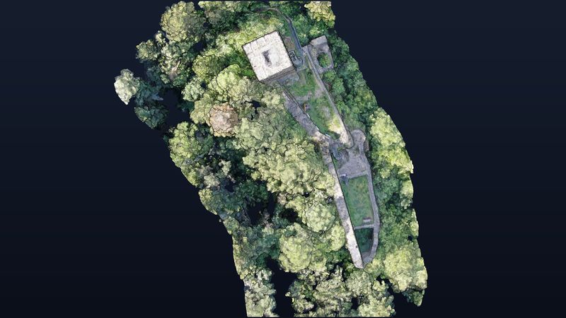
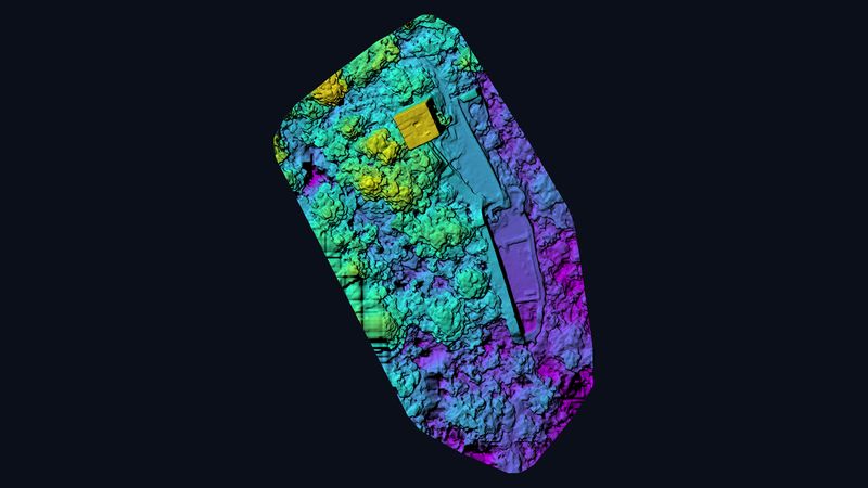
High above the Murg valley in the southern Black Forest stands the 28-metre keep of the Wieladingen castle ruin. We captured the spur castle with 191 drone images and computed a georeferenced 3D model with 38.7 million points — tower, curtain wall and courtyard, free to rotate in your browser.
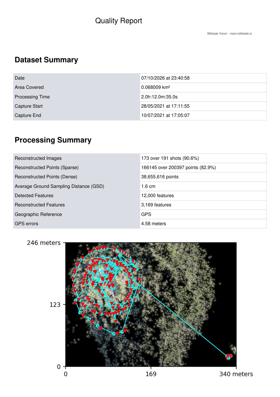
Figures from the photogrammetry quality report.
Rotate, zoom and measure it yourself.
Controls: left mouse button rotates, scroll wheel zooms, right mouse button pans. The menu on the left has measuring tools for distances, areas and heights.
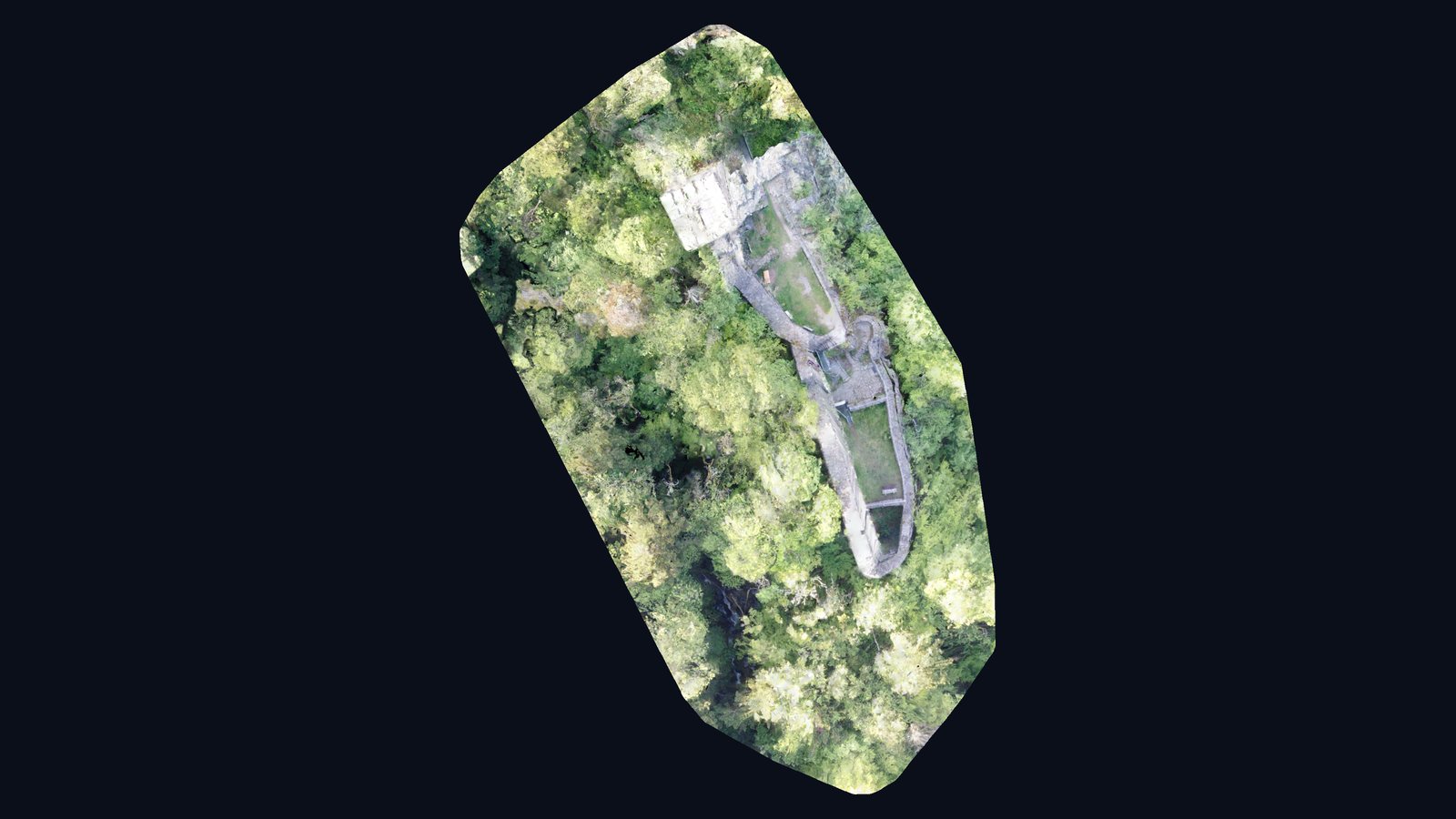
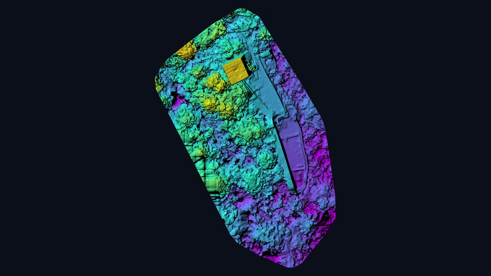
A 12th-century spur castle.
Wieladingen castle, locally also called the “Harpolinger Schloss”, sits on a spur about 540 m above sea level over the Murg valley near Wieladingen, part of Rickenbach in the district of Waldshut, Germany. It was built in the 12th century from rusticated sandstone blocks and belonged to Säckingen Abbey; around 1260 it is first recorded as the seat of the lords of Wieladingen. From the 15th century the castle fell into ruin. Remains of a double gate, the great hall and above all the 28-metre keep survive. Between 1984 and 1996 volunteers of the Förderkreis Burgruine Wieladingen secured the ruin and made the tower accessible again.
Tower and walls in dense forest.
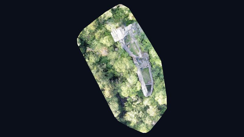
The ruin stands in deciduous forest on a narrow spur — from the ground the site can hardly be seen as a whole. The flight combined vertical and oblique images around the keep. Of 191 images (May and July 2021), 173 were reconstructed; ground resolution is about 1.6 cm.
What the model offers heritage conservation.
The model documents the condition of the tower and curtain wall across the whole site: wall tops, joints and vegetation can be measured in 3D and compared directly with a later flight. For associations, municipalities and heritage authorities this provides an objective basis for restoration planning, funding applications and public outreach.
Sources on the site: Wikipedia (de): Burgruine Wieladingen · Black Forest Tourism: Burgruine Wieladingen
Views from the model.
Request a similar project
Describe your project briefly — we respond within one business day with method, output and a concrete quote.