3D Aerial Survey — geodata from the air, with RTK precision.
Drone photogrammetry with RTK receiver and ground control points, processed on our own photogrammetry servers in the EU. A single flight yields orthophotos, digital terrain models, 3D meshes and LAS point clouds. Ideal for construction sites, industrial areas, solar farms, quarries and forestry.
A 3D aerial survey is the capture of outdoor areas, construction sites and terrain by RTK drone and photogrammetry. Bitblade Vision processes the flight data on its own EU-based photogrammetry pipeline into orthophoto (GeoTIFF), terrain and surface models, LAS point cloud and textured 3D mesh – georeferenced at ±2 cm per 10 m.
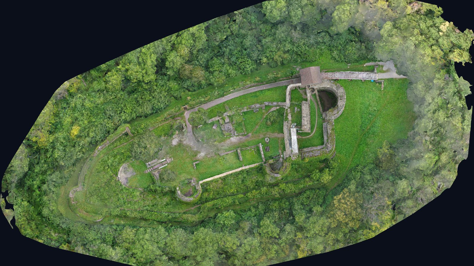
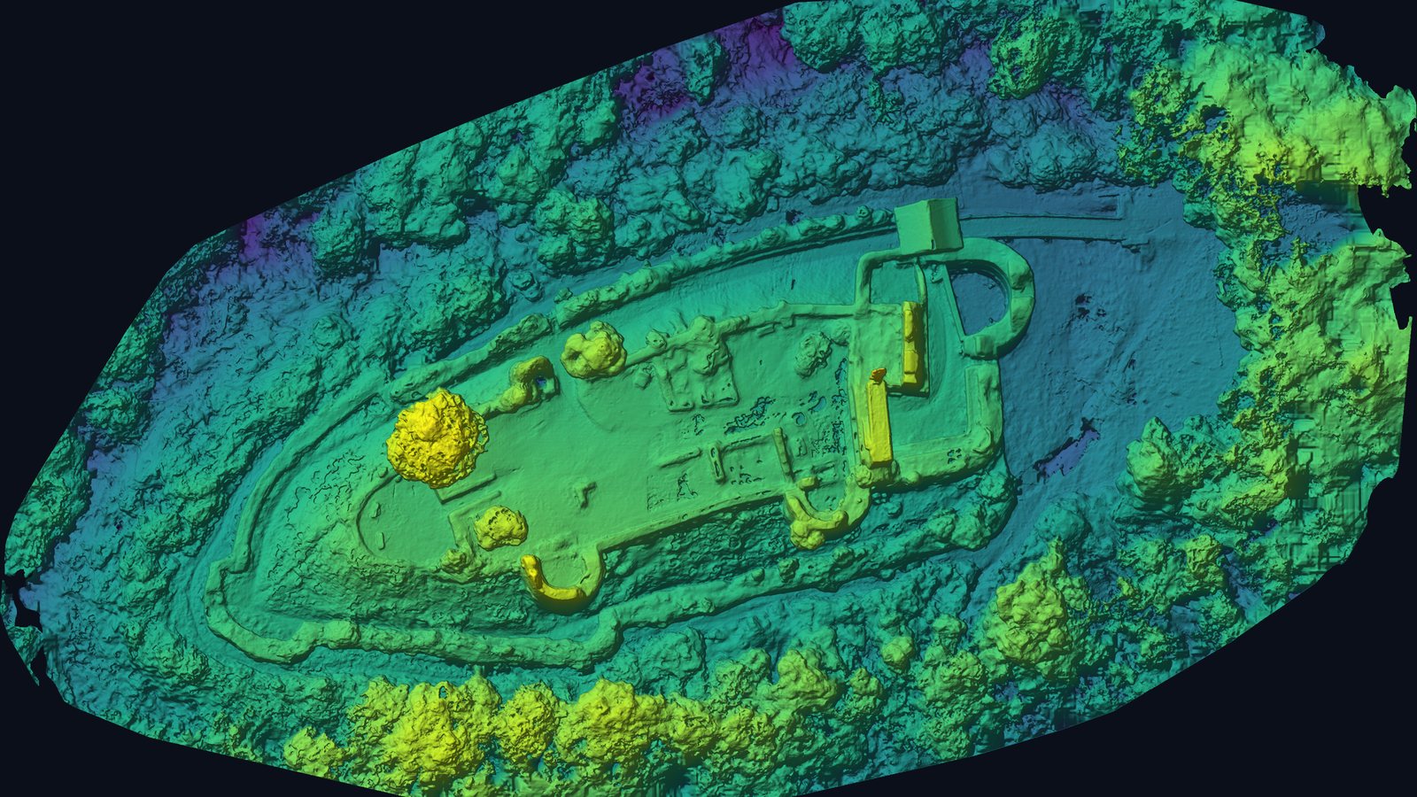
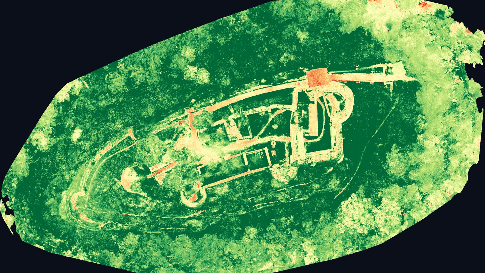
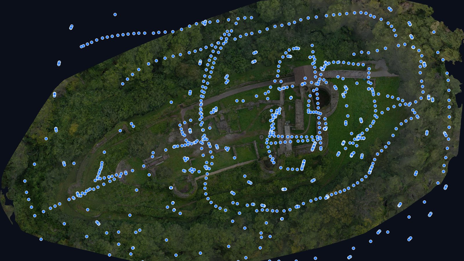
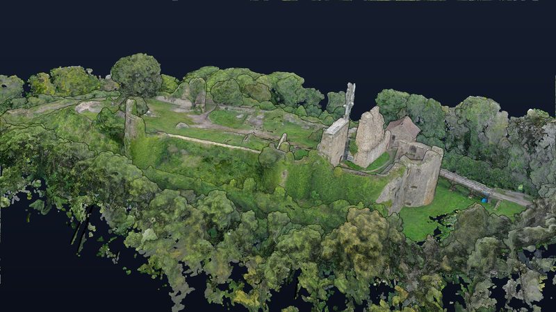
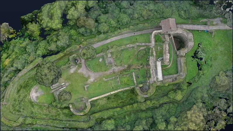
Real project data: Küssaburg castle ruin, 1,182 aerial images, approx. 1 cm ground resolution.
One flight, multiple data products.
Our RTK drone captures outdoor areas at roughly ±2 cm per 10 m — directly geo-referenced, without a time-consuming ground control point survey. This usually saves a whole survey day.
Processing runs on our own photogrammetry pipeline with GPU servers in the EU — no third-party cloud, no data leaving Europe. Output as needed: orthophoto (georeferenced GeoTIFF), DTM/DSM (terrain model), 3D mesh for visualisation, LAS point cloud for detailed surveying, as well as contour lines. We reach sites in the Black Forest or around Lake Constance from Lauchringen without a separate travel surcharge.
Technical specs
Everything one flight delivers.
From a single drone flight we derive a complete set of geodata. You choose what you need — everything is georeferenced and fits together.
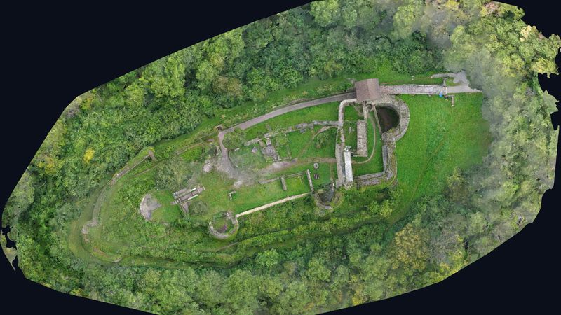
Orthophoto
True-to-scale, georeferenced aerial map without perspective distortion — measurable like a plan.
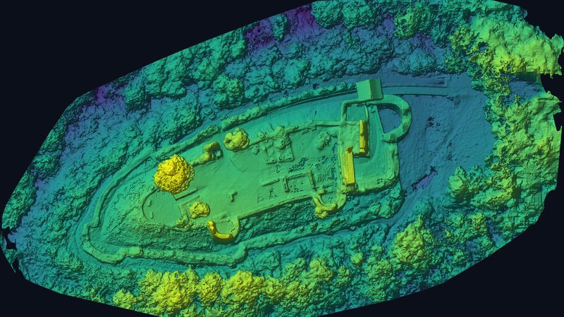
Surface model (DSM)
Heights of everything visible from above: buildings, vegetation, stockpiles — as a colour-coded elevation map and raw data.
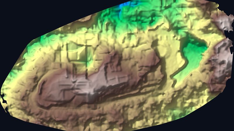
Terrain model (DTM)
The bare ground with buildings and vegetation filtered out — basis for earthworks, drainage and planning.
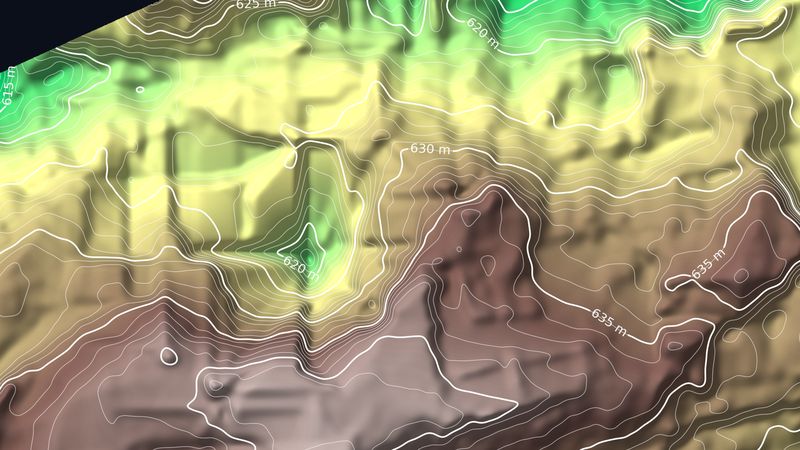
Contour lines
Generated from the terrain model at any interval you need, ready for CAD and GIS.
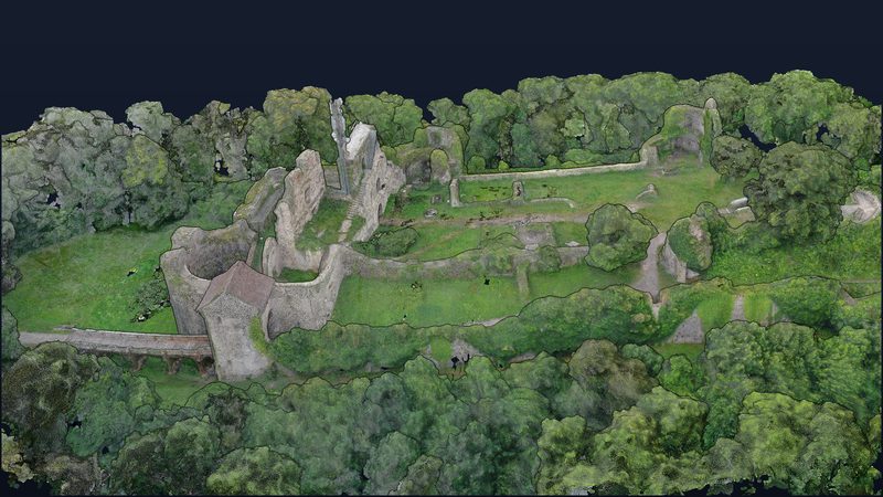
Point cloud
Dense, colour point cloud with up to several hundred million points, georeferenced.
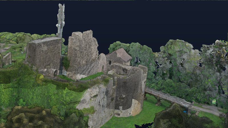
Textured 3D mesh
Photo-realistic 3D model for visualisation, BIM reference, game engines and AR.
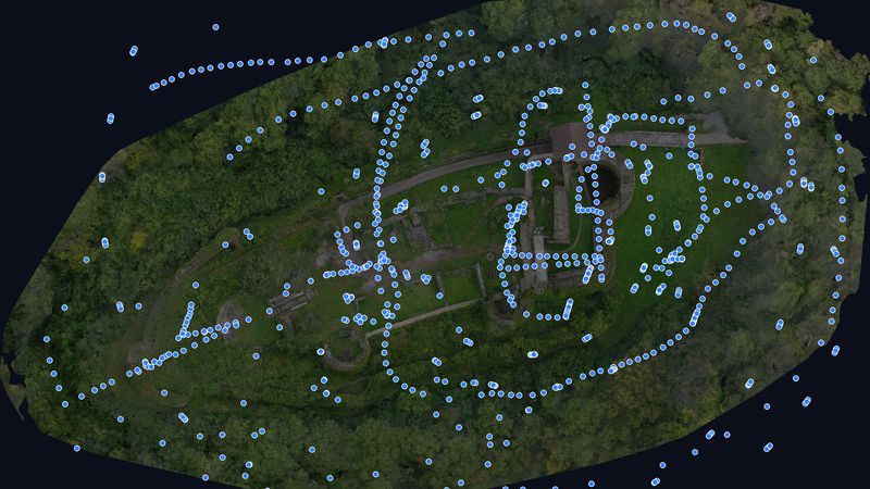
Camera positions
Every image location as geodata — for documentation and exactly repeatable follow-up flights.
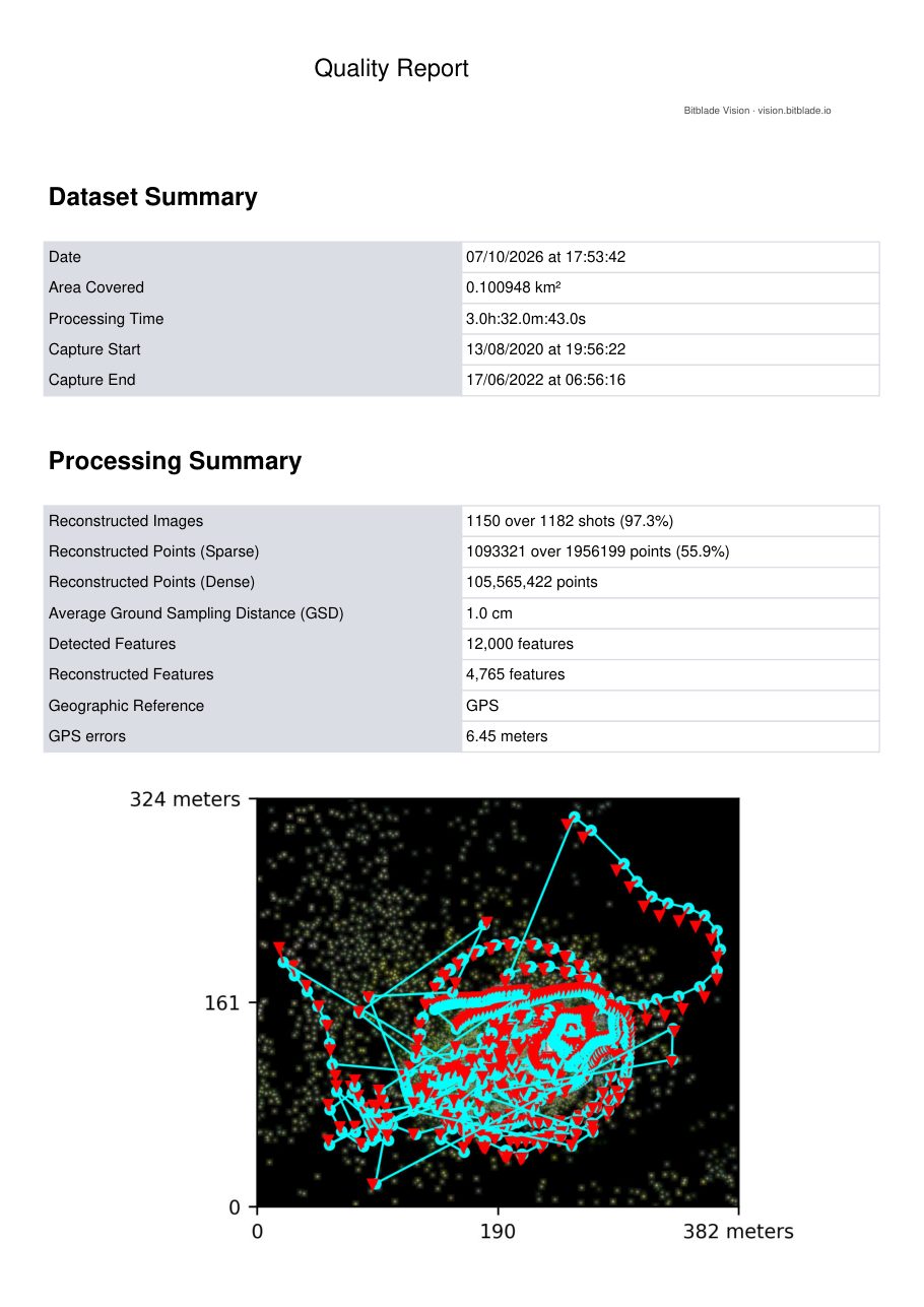
Quality report
PDF with coverage, ground resolution, reconstruction rate and accuracy figures for every project.
Measure and evaluate — directly in the browser.
Every project comes with an interactive viewer. Your team opens it via link, without installing software.
- Distances, areas, heights — measured directly in the 3D model and on the map
- Volumes — stockpiles, excavations, cut & fill between two surfaces
- Elevation profiles — along any line, e.g. for roads, embankments or drainage
- Layer switch — orthophoto, surface model, terrain model and contour overlay in one view
- Vegetation index — plant-health view (e.g. VARI) from standard RGB images; NDVI on request with multispectral data
- Time comparison — repeat flights on the same flight path for construction progress, erosion or stockpile changes
- Share & embed — one link for clients and authorities, or embedded on your own website — like our Küssaburg project
- RTK + ground control points — absolute accuracy at centimetre level, documented in the quality report
- Large areas — thousands of images processed in sections and merged into one seamless model
- Combinable — with LiDAR indoor capture and Matterport tours in one georeferenced dataset
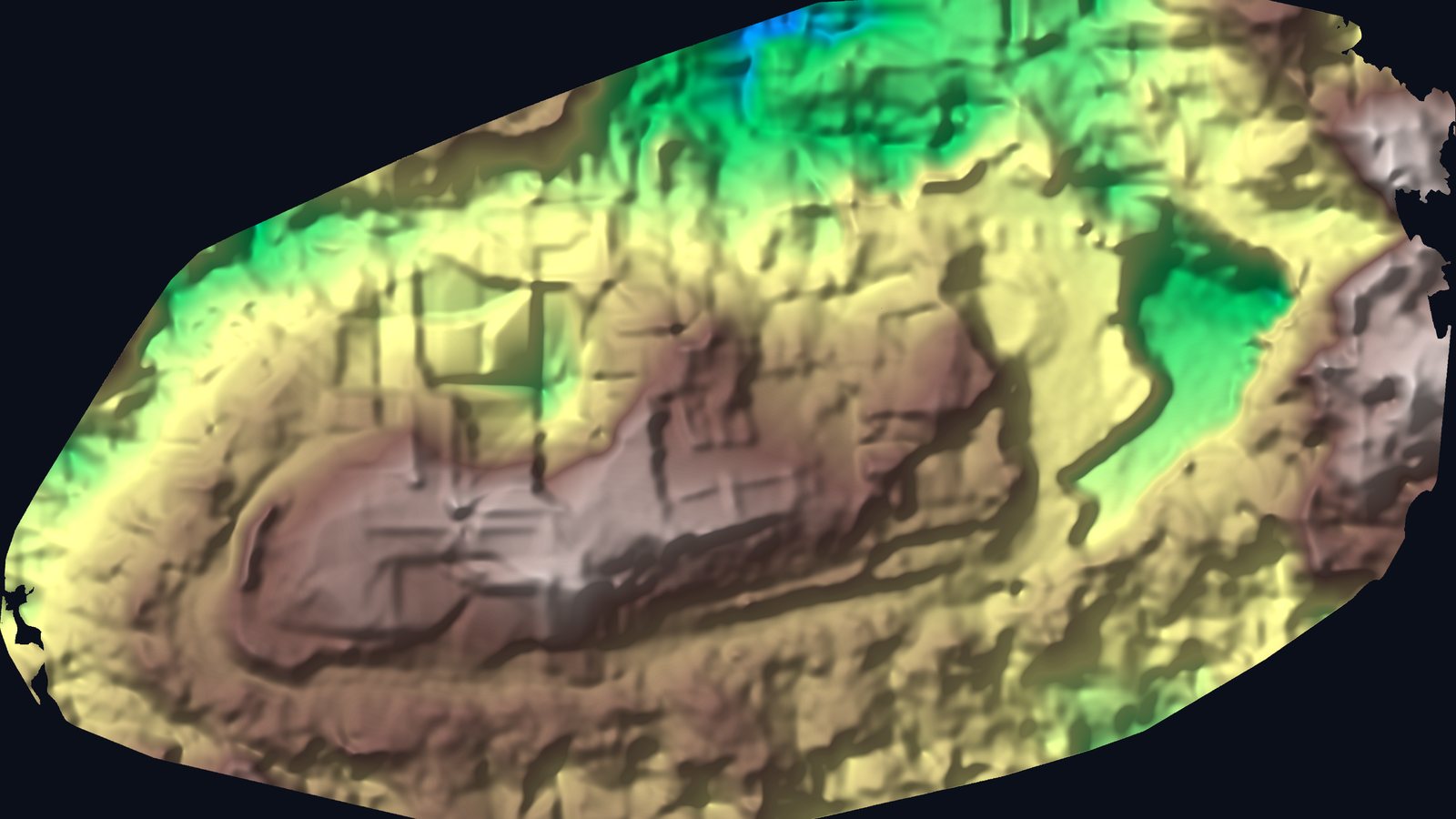
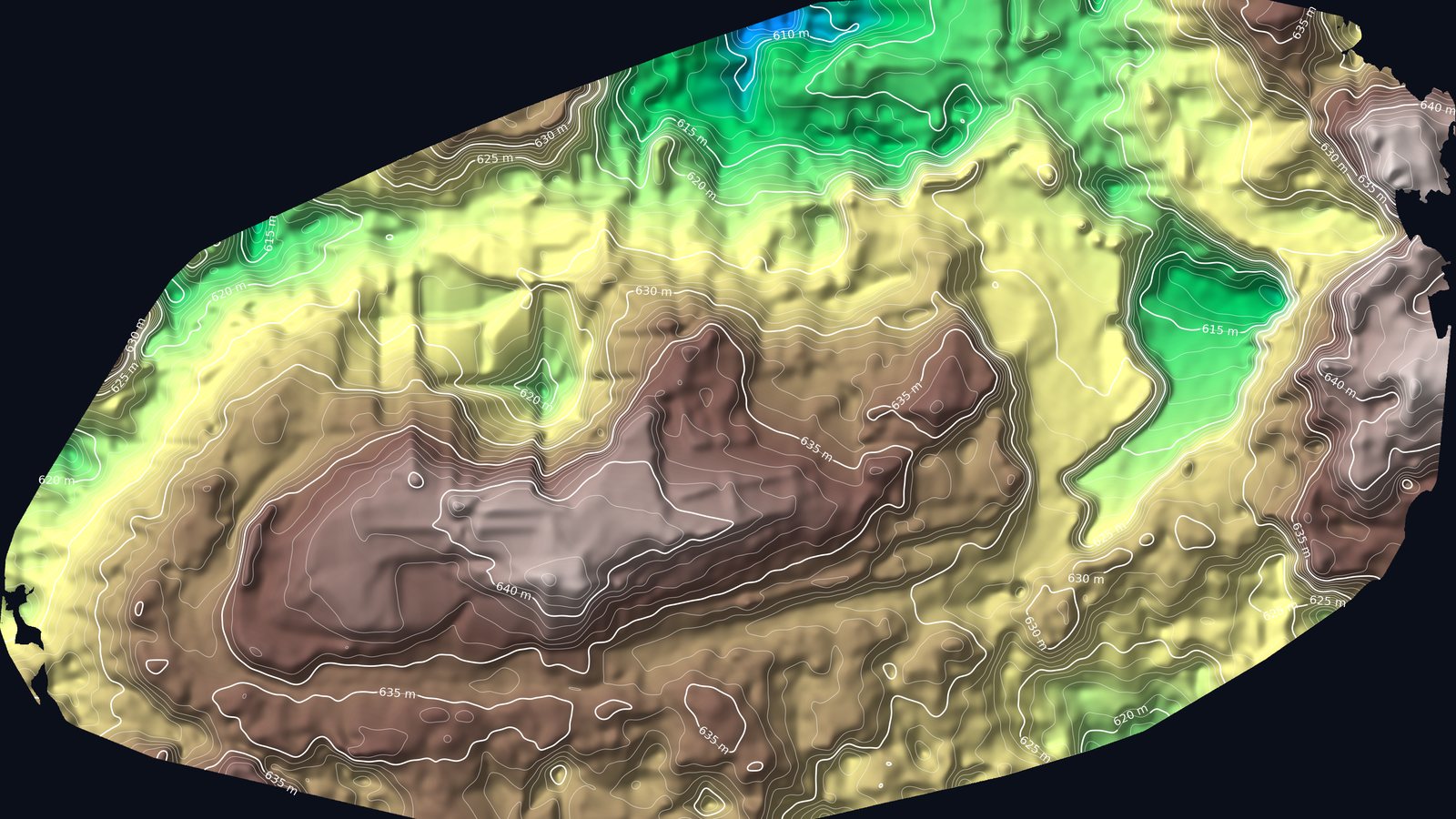
True-to-scale aerial map.
Typical use cases.
Construction progress
Weekly captures for plan-vs-actual comparison, volume calculation and documentation for clients and authorities.
Industrial sites
Plant layout, logistics areas, tank farms — fully captured including elevation model for insurance and permitting.
Solar & energy
Roof analysis for PV, shading simulation, route planning, repowering studies for existing installations.
How your project runs.
Flight planning
Permits, flight corridor, GSD requirement. Also in restricted airspace with a special-purpose permit.
On-site flight
Autonomous RTK flight with a photogrammetry camera. Typically 30–90 minutes per 10 hectares.
Photogrammetry
Bundle adjustment, dense point cloud and mesh generation on our own GPU servers in the EU — orthophoto, DSM, DTM, contours, mesh, point cloud.
Handover
Browser viewer (map + 3D, ready to share or embed), quality report and geodata package in the desired CAD / GIS format.
6,000 m² Specialty Bike Fair — captured in a single night and walkable in the model by the next morning.
See it for yourself.
Real projects with interactive 3D model and map — open them right in your browser.
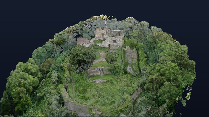
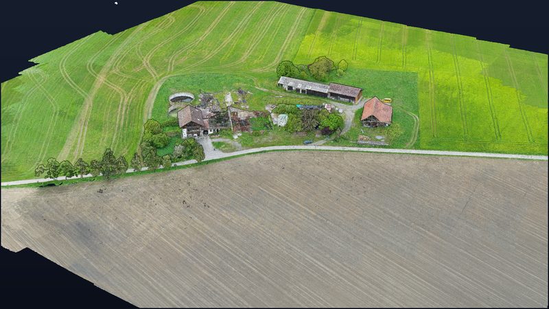
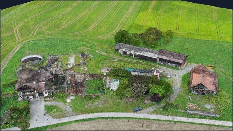
Views from our drone models.
Sample documents to download.
See exactly what you receive — real deliverables from our projects as PDF.
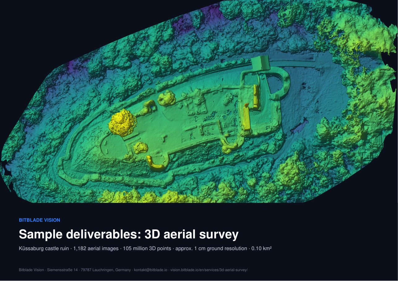
Sample deliverables
9 pages: orthophoto, elevation models, contours, vegetation index, camera positions and 3D views.
Download PDFQuality report: Küssaburg
Coverage, ground resolution, reconstruction rate and accuracy — 1,182 images.
Download PDF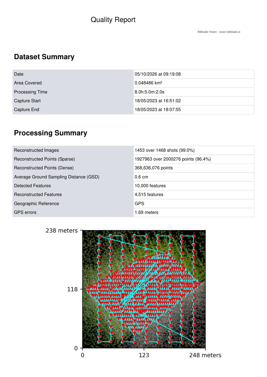
Quality report: Bad Wurzach
368 million points, 0.6 cm ground resolution, 1,468 images.
Download PDFFrequently asked questions.
Do we need a flight permit?
In most cases yes. We fully handle registration with the Luftfahrtbundesamt / BAZL and, where applicable, the special permit for protected areas or control zones.
Can you calculate volumes?
Yes. Stockpiles, excavations and cut & fill are calculated from the surface model — as a one-off measurement or as a comparison between two flights.
Which file formats do we receive?
Orthophoto and elevation models as GeoTIFF, point cloud as LAS/LAZ or PLY, 3D mesh as OBJ or GLB, contour lines as DXF, Shapefile or GeoJSON — plus a PDF quality report.
Do we need special software to view the results?
No. Every project includes a browser viewer with map and 3D model, including measuring tools. You can share it via link or embed it on your website.
How accurate is the result?
With RTK and ground control points we typically reach centimetre-level accuracy; ground resolution is usually 1–3 cm per pixel. Every project includes a quality report with the measured figures.
What's the maximum area per day?
At normal resolution (3 cm GSD) roughly 50–80 hectares per flight day. Larger areas are split into stages.
Does this also work in cloudy weather?
Yes, even better than in direct sunlight — diffuse light avoids harsh shadows. We only pause for rain and strong wind.
Can you combine this with indoor capture?
Yes. Hybrid projects like Lauffenmühle (120,000 m²) combine drone outdoor capture with LiDAR indoor capture in a single geo-referenced model.
Request for 3D Aerial Survey
We respond within one business day with a concrete quote including lead time and output formats.