"We need the drone flight data" is not a specification — a single flight produces several, very different data products, and not every one suits every purpose. This article goes deeper into the output formats from our drone surveying fundamentals article and explains which format is needed for what.
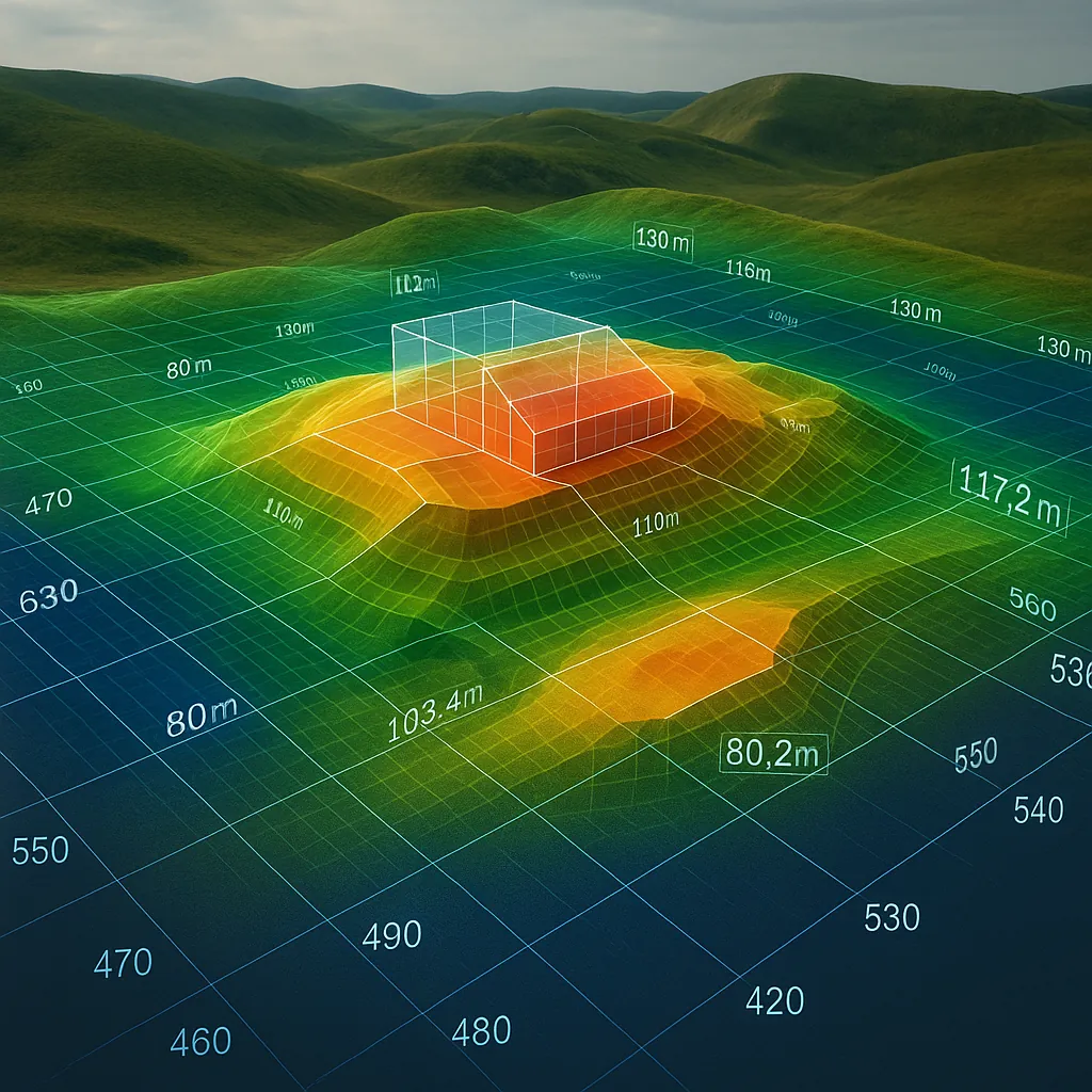
The six outputs at a glance
| Format | Shows | Typical file type |
|---|---|---|
| Orthophoto | True-to-scale aerial map | GeoTIFF |
| DTM | Bare terrain, no vegetation/structures | GeoTIFF, XYZ |
| DSM | Surface incl. trees and buildings | GeoTIFF |
| 3D mesh | Textured 3D model of the site | OBJ, glTF |
| Point cloud | Computed 3D points, editable | LAS, LAZ |
| Contour lines | Classical isolines for CAD/GIS | DXF, SHP |
Orthophoto
An orthophoto is a true-to-scale, rectified and geo-referenced aerial map — like Google Maps, but at your own resolution. Unlike a normal aerial photo, perspective distortion has been corrected out, so distances and areas can be measured directly on the orthophoto. Typical use: visual documentation, marketing, simple area measurement, base layer for CAD drawings.
DTM vs. DSM — the key difference
These two formats are the most frequently confused, even though they show fundamentally different things:
- DTM (Digital Terrain Model): Shows only the bare earth surface — vegetation, buildings and other structures are stripped out. Basis for slope analysis, flood simulation and earthworks volume calculations.
- DSM (Digital Surface Model): Shows everything visible from above — including tree canopies, roofs and other structures. Basis for volume calculations of buildings or material stockpiles, sight-line analysis, 3D visualisation.
Rule of thumb: if it's about the bare terrain, you need the DTM. If it's about what's standing or growing on the terrain, you need the DSM.
3D mesh and point cloud
Both formats are genuine 3D data, but they differ in purpose:
- Point cloud (LAS/LAZ): The raw, computed 3D points of the site. The preferred data type for further work in CAD, GIS or BIM software, for cross-sections, volume calculations and survey analysis.
- 3D mesh (OBJ/glTF): A textured, closed 3D surface model — visually more appealing, but less precise for surveying purposes. Preferred for presentations, web viewers and VR applications.
Contour lines
Contour lines (isolines) are the classical cartographic representation of terrain elevation as lines of equal height. They are derived from the DTM and delivered in DXF or SHP format — the standard for CAD and GIS software when a full 3D point cloud isn't needed, but a classical, plannable elevation representation is.
Decision guide: format by use case
| Use case | Recommended format |
|---|---|
| Construction progress documentation | Orthophoto + DSM |
| Earthworks calculation | DTM (or filtered point cloud) |
| Marketing / presentation | Orthophoto + 3D mesh |
| CAD/BIM further processing | Point cloud |
| Classical drawing | Contour lines + orthophoto |
| Flood / slope analysis | DTM |
A practical tip: almost all formats can be computed from the same raw images of a single drone flight. It's worth requesting several formats up front rather than needing to recompute — or re-fly — later. For more on accuracy and the technical requirements behind it, see Drone Surveying: Accuracy and RTK.
Frequently asked questions about the output formats
What is the difference between DTM and DSM?
The DTM (Digital Terrain Model) shows only the bare earth surface without vegetation and buildings. The DSM (Digital Surface Model) shows everything visible from above, including trees and buildings. Earthworks calculations and slope analysis need the DTM; volume calculations for buildings or tree stock need the DSM.
When do I need a point cloud instead of an orthophoto?
An orthophoto is a flat, true-to-scale image map — good for viewing and 2D measurement. A point cloud contains real 3D coordinates for every measured point and is needed when you work on in CAD or BIM software, calculate volumes, or generate cross-sections.
Which format do I need for an earthworks calculation?
Earthworks calculations typically use the DTM because it shows the bare terrain surface without vegetation and structures. Point clouds can also be used, but require vegetation filtering beforehand.
Can I get all formats from a single drone flight?
Yes. Orthophoto, DTM, DSM, 3D mesh, point cloud and contour lines are all computed from the same raw images of a drone flight, using photogrammetry software such as WebODM. You only need to specify at the outset which formats you want delivered.
Conclusion
A drone flight isn't a black box with one output — it's a data source for six different formats, each with its own purpose. Clarifying up front what the data will be used for means you get everything you need from the first flight, instead of having to recompute formats or fly again later.
Not sure which format fits your project? Request a consultation — we'll work it out together beforehand.
Let's have a quick conversation.
We're happy to give non-binding advice on your specific use case — even if no order with us results.
Request consultation