120,000 m² in one model — Lauffenmühle.
The former Lauffenmühle industrial complex in Lauchringen is one of the largest contiguous 3D models of its kind worldwide. 14 buildings, outdoor surfaces, indoor spaces — captured completely and combined in a searchable digital-twin environment.
Figures from the Matterport model record (retrieved 15 Aug 2026).
The site from the air — captured twice.
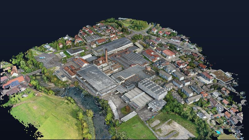
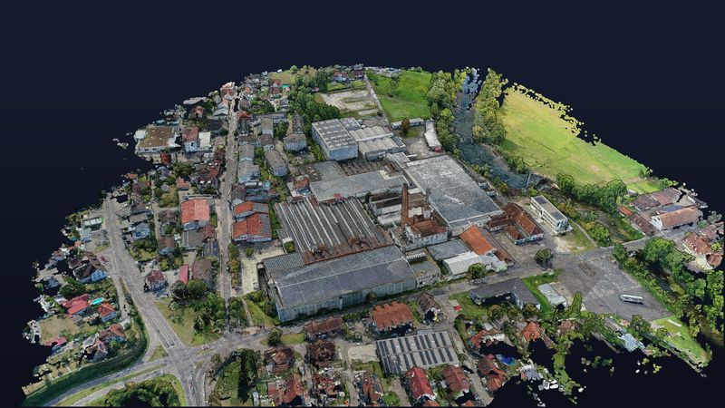
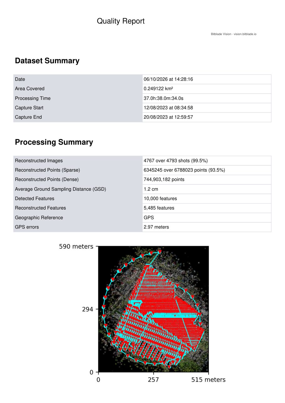
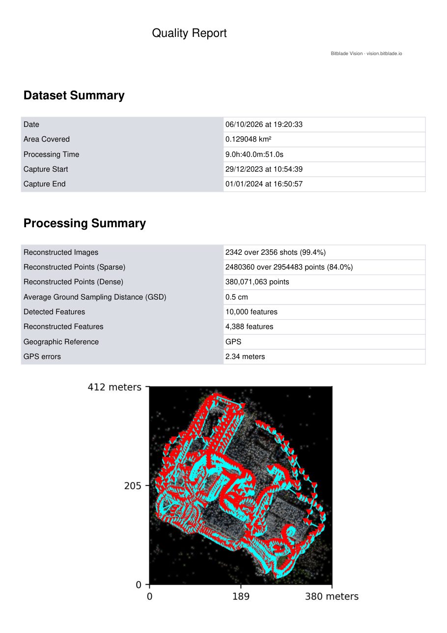
In August 2023 and again over the turn of the year 2023/24 we flew the Lauffenmühle site by drone. Two georeferenced 3D models with more than 1.1 billion points in total show the site in summer and winter — directly comparable.
Figures from the quality reports (summer: 12/20 Aug 2023, 0.25 km², 1.2 cm; winter: 29 Dec 2023–1 Jan 2024, 0.13 km²).
Controls: left mouse button rotates, scroll wheel zooms, right mouse button pans. The summer model is very large and takes a moment to load the first time.
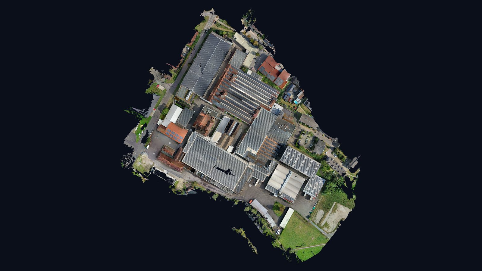
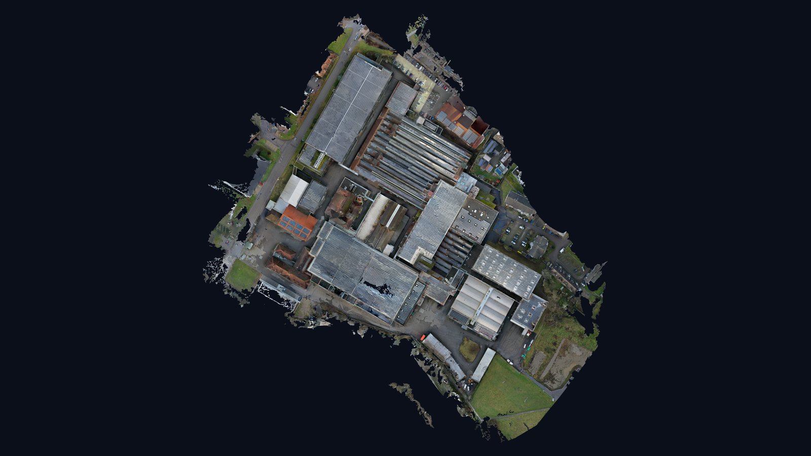
Views from the drone models.
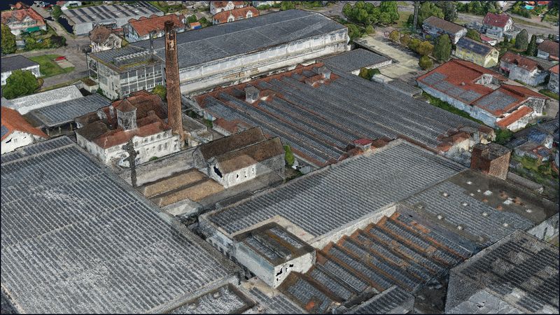
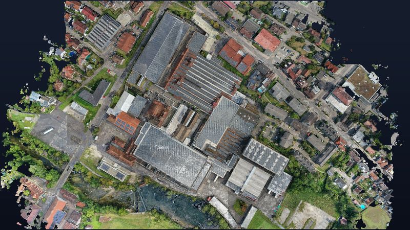
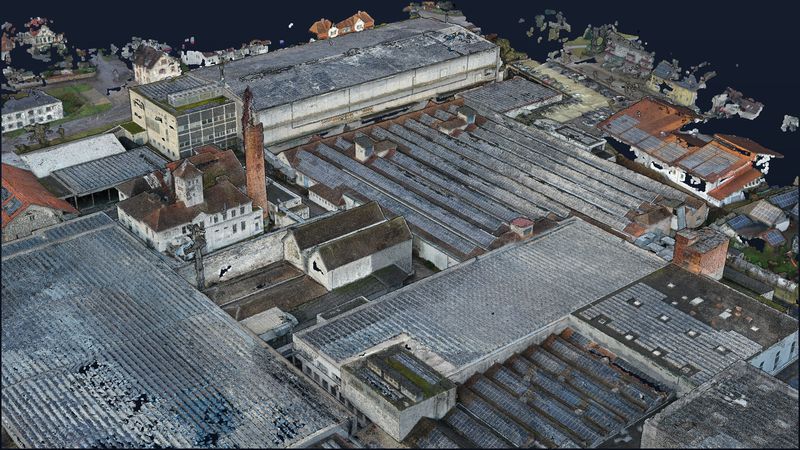
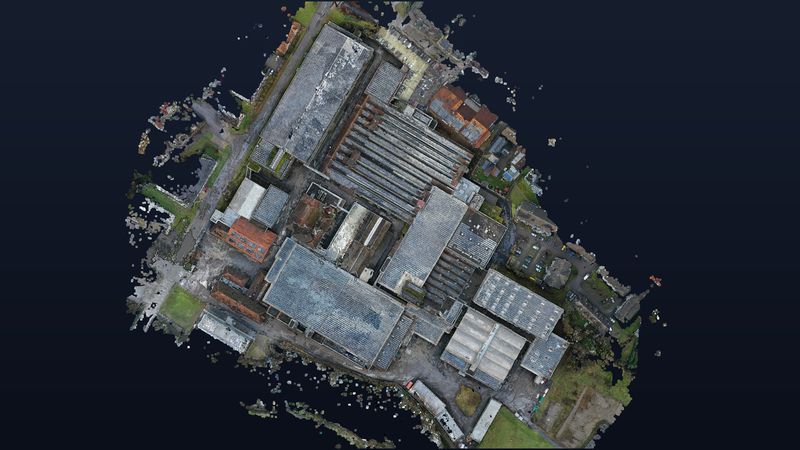
3D walkthrough — Lauffenmühle.
The walkable 3D tour of Lauffenmühle will be published shortly — final client approval is still pending.
An industrial site as a digital twin.
The entire Lauffenmühle complex in the municipality of Lauchringen — formerly a textile mill, today an industrial, commercial and cultural site — needed to be captured completely and digitally for as-built documentation, site marketing and long-term planning.
The challenge: a hybrid model bringing outdoor areas, façades, interiors and halls into a single geo-referenced model — with no loss of accuracy at the transitions.
Scale that no one else in the DACH market can show.
Hybrid workflow in four stages.
Drone flight
RTK drone captures outdoor areas, roofs and façades — geo-referenced to ±2 cm.
Interior LiDAR
Terrestrial scanners for all indoor capture, 14 buildings, over 1 200 scan stations.
Registration
Registration of all interior and exterior data into a consistent geo-referenced model.
Handover
Matterport spaces, E57 point clouds from the 3D site survey via Matterpak, orthophoto maps via WebODM. BIM as-built models for sub-areas produced on request.
120,000 m² in one searchable digital twin.
Twelve scan days produced one contiguous, geo-referenced model of 14+ buildings totalling 9.2 billion points — usable for as-built documentation, site marketing and planning. Release of the walkable 3D tour is still pending (see preview video above).
The scale of Lauffenmühle is exceptional. Bitblade Vision achieved in 12 scan days what we wouldn't have got elsewhere in several months — at a data quality we can feed directly into our planning pipeline.
Request a similar project
Large complexes, industrial sites, hybrid interior + drone — drop us a line and we'll reply within one business day.