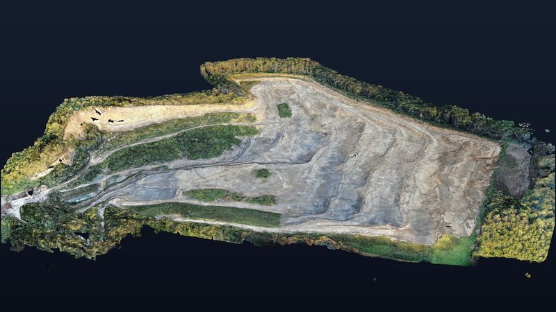
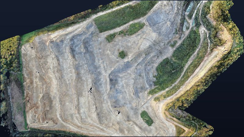
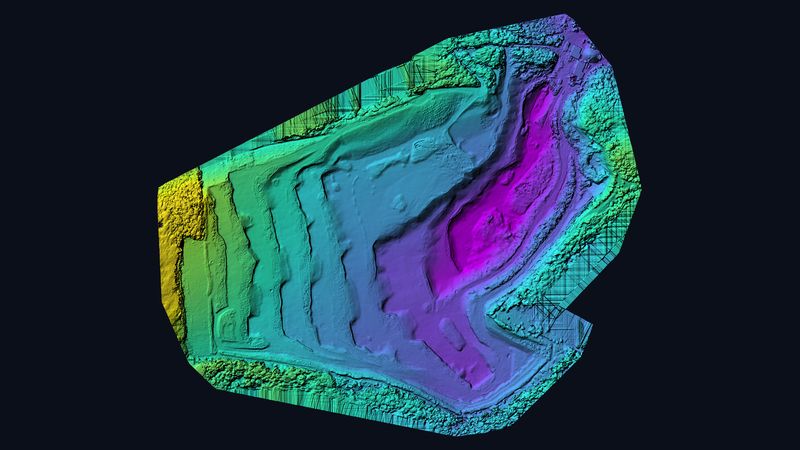
Villigen quarry — 1.28 km² of extraction area in 3D.
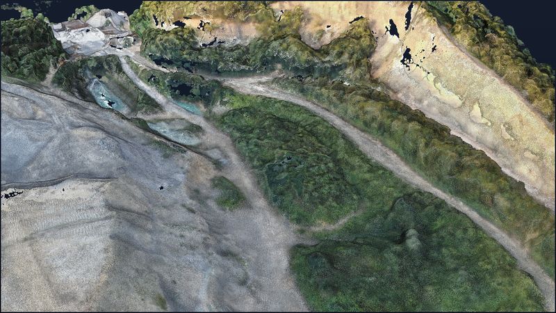
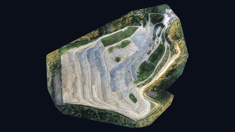
Five flights, 1,338 images, 1.28 km²: at the quarry near Villigen in the canton of Aargau we captured the entire extraction area with its benches, stockpiles and faces. The georeferenced 3D model with 133 million points makes landforms and volumes directly measurable.
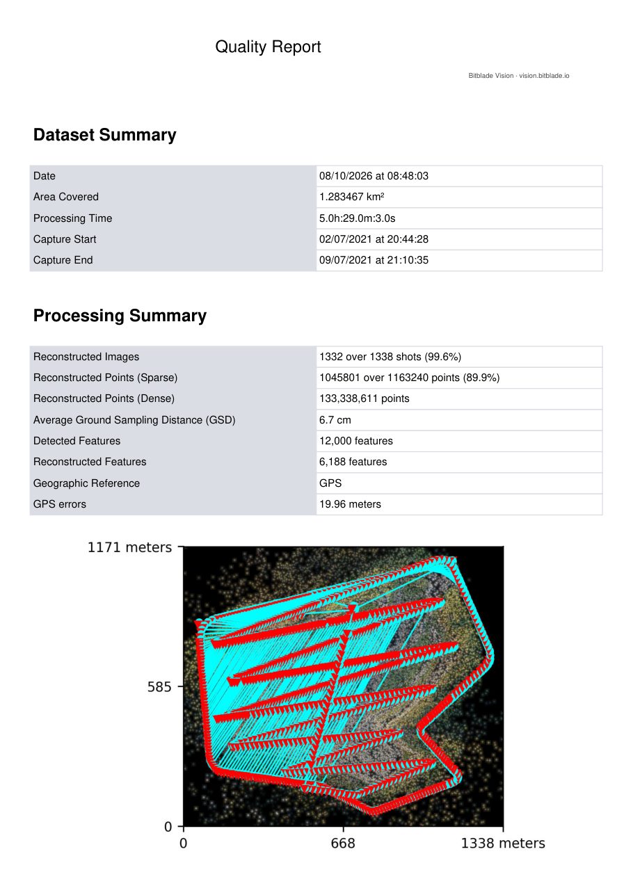
Figures from the photogrammetry quality report.
Rotate, zoom and measure it yourself.
Controls: left mouse button rotates, scroll wheel zooms, right mouse button pans. The menu on the left has measuring tools for distances, areas and heights.
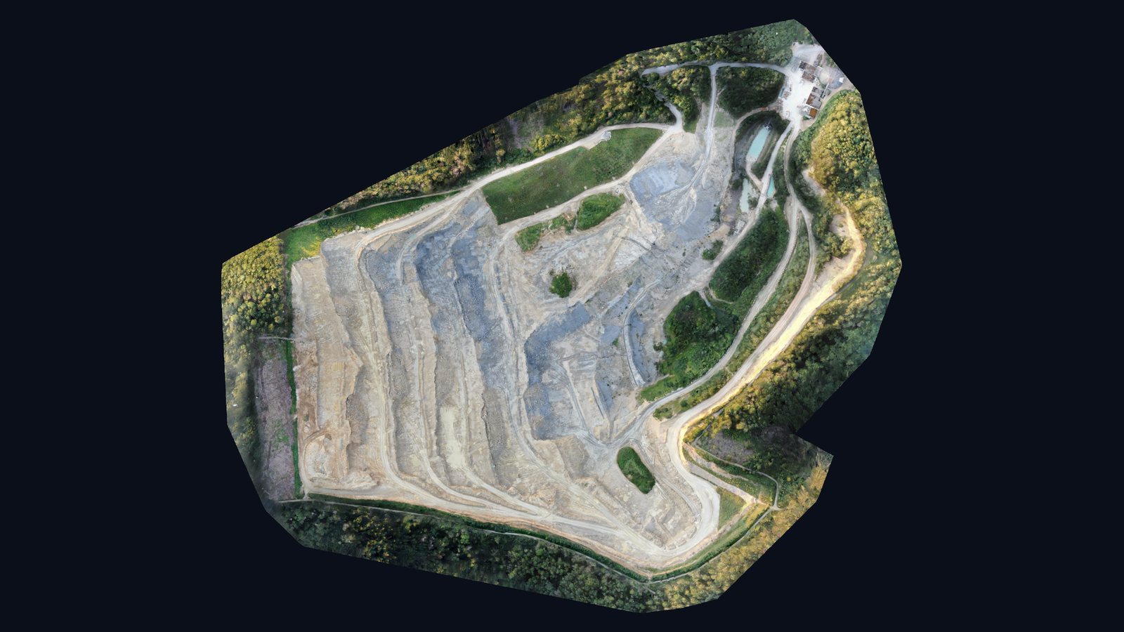
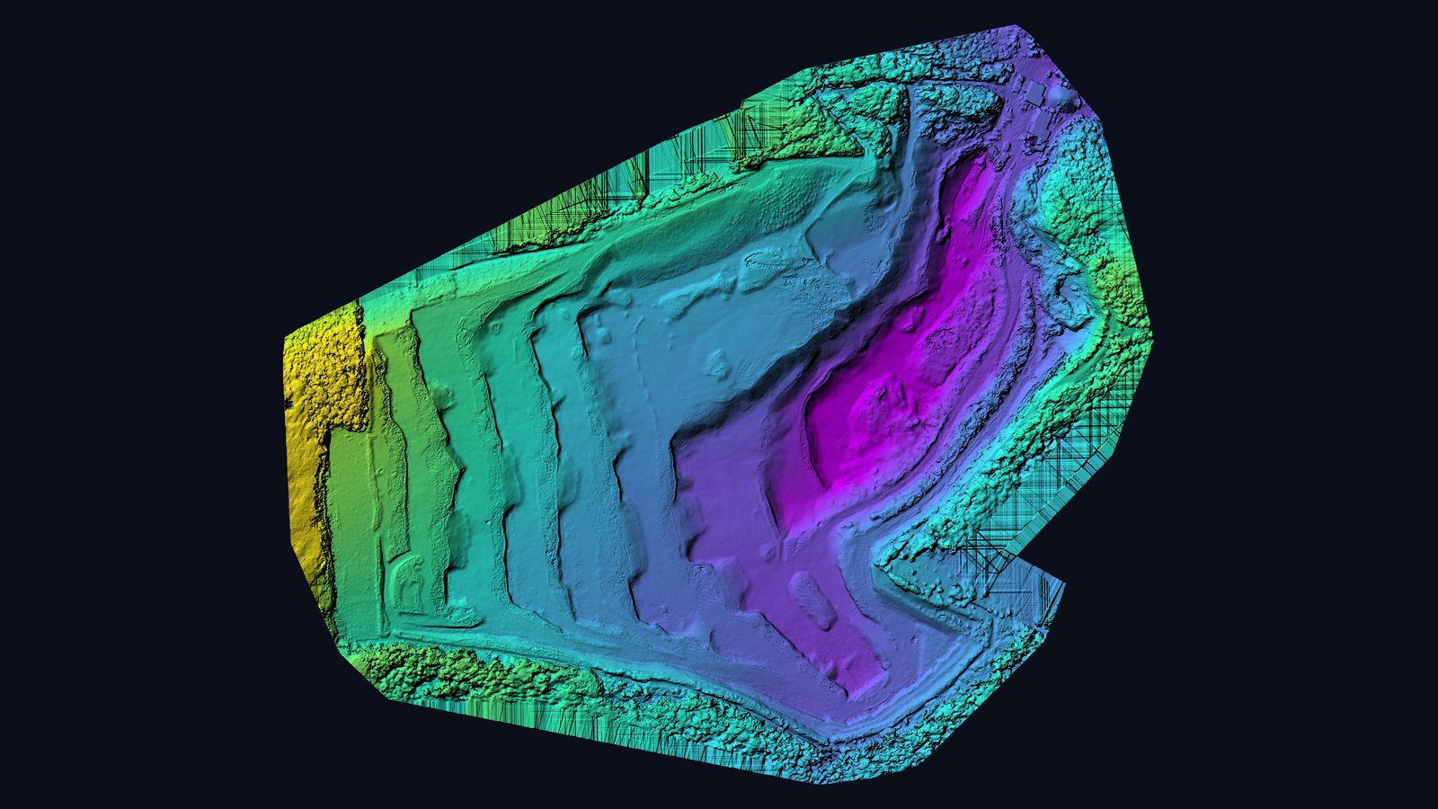
Limestone and marl for cement production.
At the Gabenchopf quarry on the Geissberg near Villigen (Aargau), limestone and marl have been extracted since the 1950s. The material travels on a conveyor belt about four kilometres long across the river Aare to the Siggenthal cement works. Parts of the site are certified as an ecologically valuable natural area — an example of extraction and renaturation side by side.
Five flights, one seamless model.
The 1.28 km² area was captured in five flights between 2 and 9 July 2021. Of 1,338 images, 1,332 were reconstructed and merged into one seamless model; ground resolution is about 6.7 cm — just right for volume and terrain analysis at this scale.
Volumes, slopes, extraction progress.
For extraction companies the flight delivers what otherwise takes days of terrestrial surveying: stockpile and extraction volumes, slope angles, contour lines and an orthophoto for extraction planning. Repeat flights on the same route show progress and support renaturation and permit documentation.
Sources on the site: Aargauer Zeitung: Gabenchopf quarry receives ecology certificate (German)
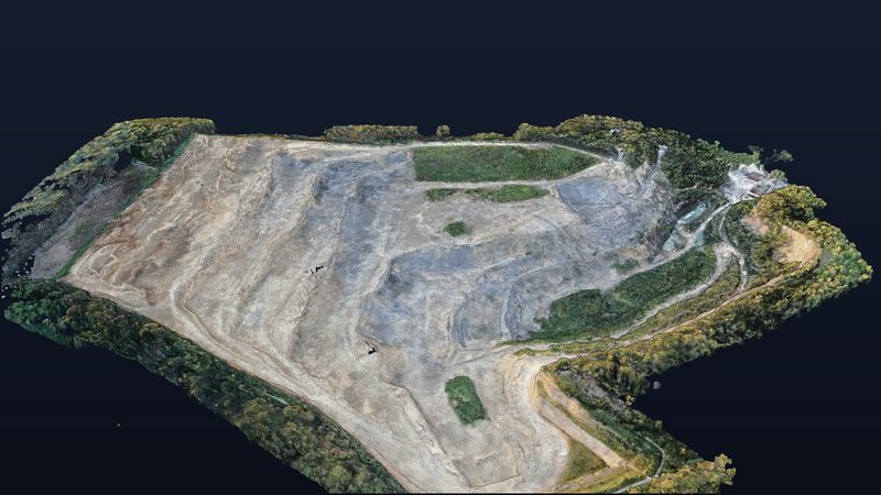
Views from the model.
Request a similar project
Describe your project briefly — we respond within one business day with method, output and a concrete quote.