Lauchringen bypass — the B 34 under construction, from the air.
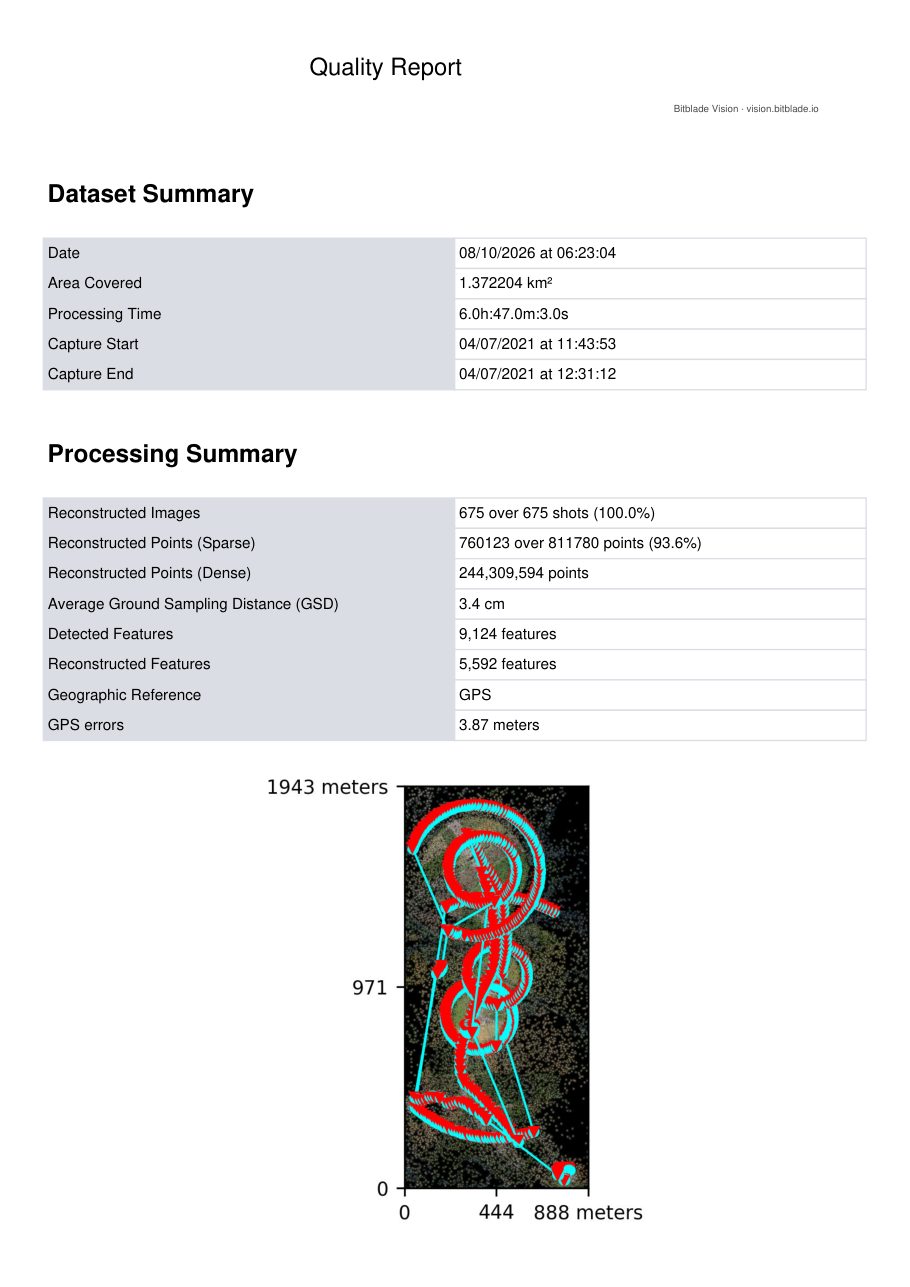
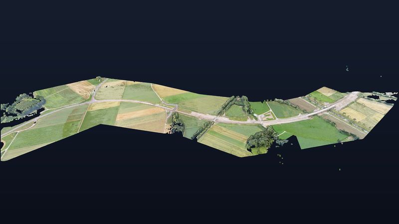
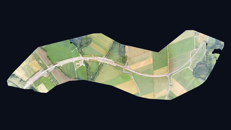
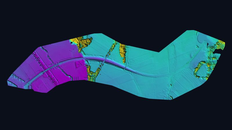
In July 2021, just over four months before it opened to traffic, we flew the new Oberlauchringen bypass over about 1.4 km². From 675 drone images we computed a georeferenced 3D model with 244 million points — bridges, route and railway crossing as built at that stage.
Figures from the photogrammetry quality report.
Rotate, zoom and measure it yourself.
Controls: left mouse button rotates, scroll wheel zooms, right mouse button pans. The menu on the left has measuring tools for distances, areas and heights.
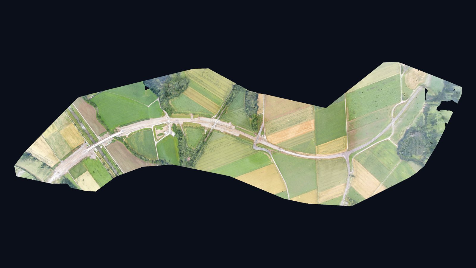
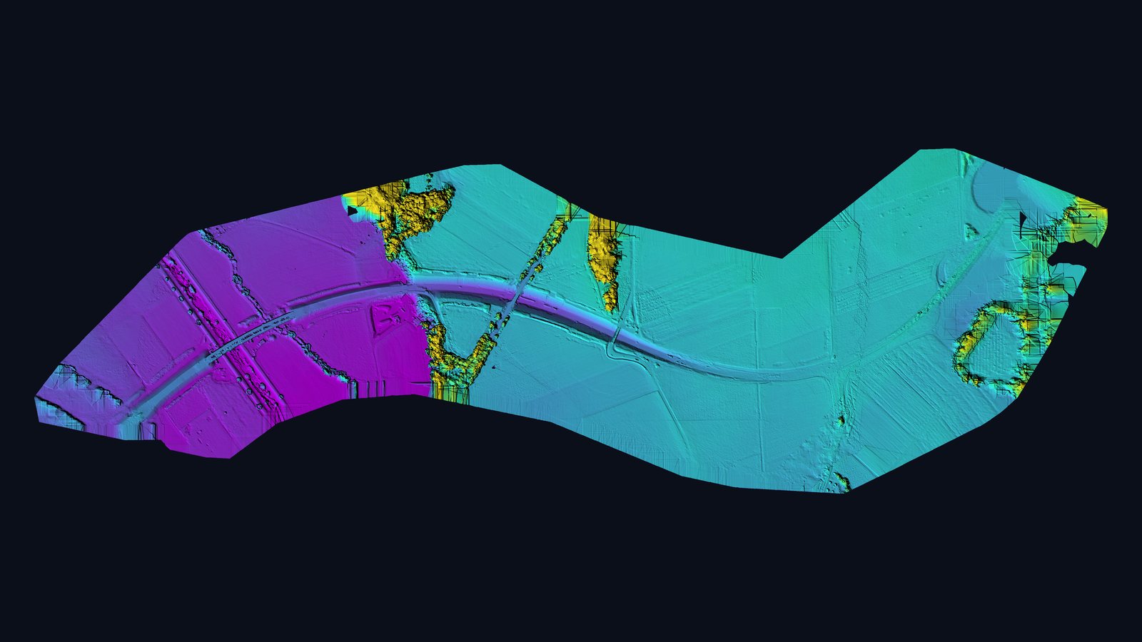
A new east–west axis on the High Rhine.
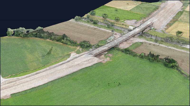
The Oberlauchringen bypass on the B 34 federal road links the A 98 motorway at the Oberlauchringen junction with the B 34 towards Klettgau in southern Germany. In addition to the B 314 overpass completed in 2010, six bridges were built; the largest spans the Wutach valley with a length of about 184 m. The route crosses two railway lines: the Wutöschingen – Weizen line on a bridge and the Basel – Konstanz line via a railway overpass. The bypass, costing about €25 million, opened on 24 November 2021; according to the state transport ministry, through traffic in the village drops by up to 60 percent.
One flight, one hour, the entire route.
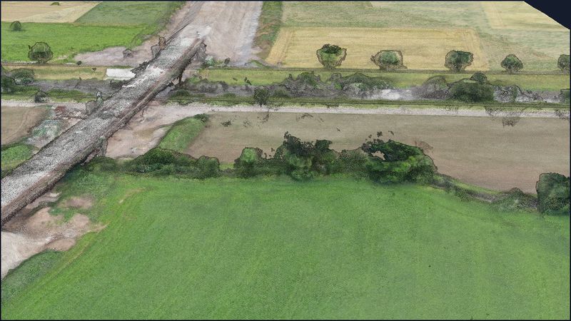
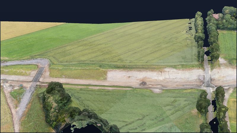
The capture on 4 July 2021 took just under an hour: 675 images, all reconstructed, at about 3.4 cm ground resolution. The model shows the route shortly before completion — gravel layers, embankments, abutments and haul roads are visible in detail.
Construction documentation you can measure.
For clients, planners and contractors such a model is an objective snapshot of construction progress: volumes and embankments can be measured, plan-vs-actual comparisons are possible, and repeat flights make progress visible over time — without closures and without people in the work zone.
Sources on the site: Baden-Württemberg Ministry of Transport: Oberlauchringen bypass completed (24 Nov 2021, German)
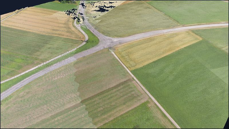
Views from the model.
Request a similar project
Describe your project briefly — we respond within one business day with method, output and a concrete quote.