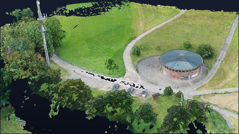
Eschbach surge tower — round building and mast in 3D.
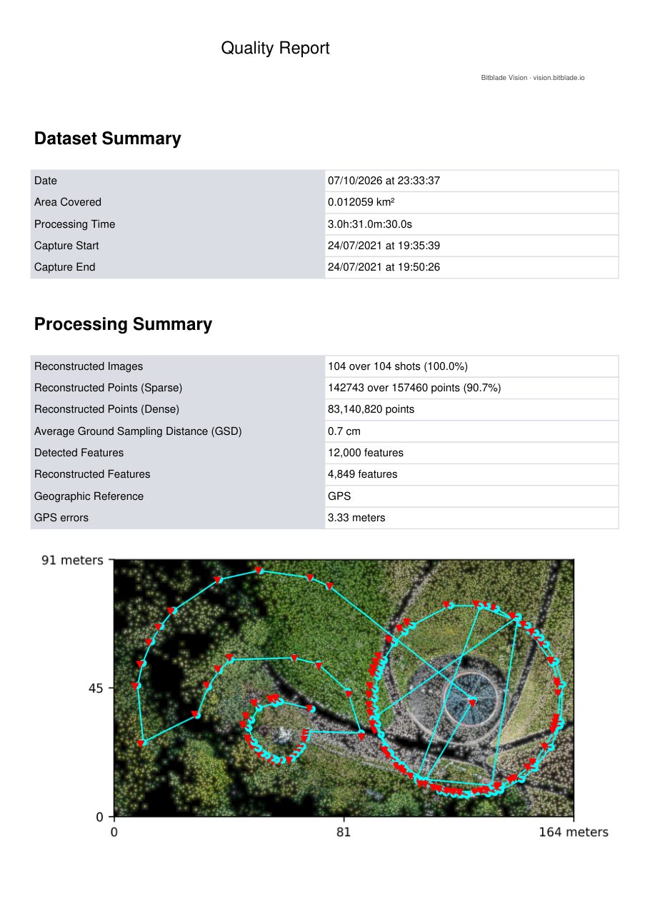
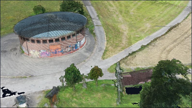
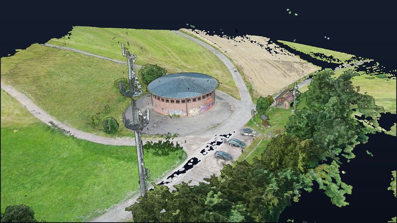
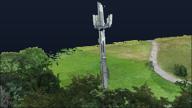
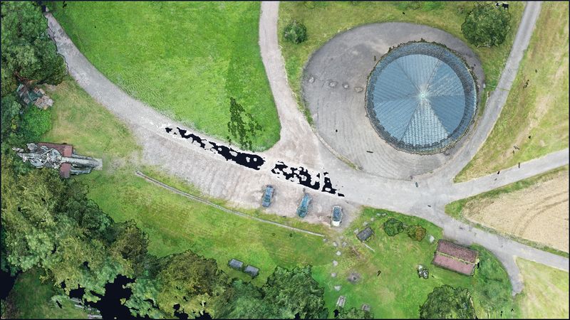
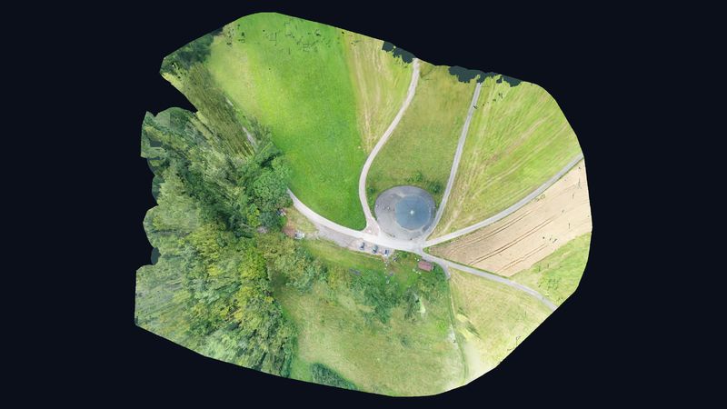
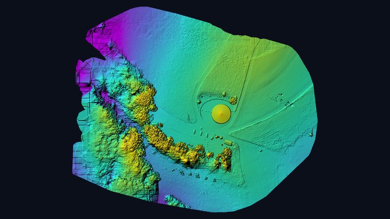
In just 15 minutes of flight time we captured the surge tower on the Haspel above Eschbach and the neighbouring mobile phone mast. 104 images produced a 3D model with 83 million points and about 0.7 cm ground resolution — fine enough to see brick joints and antenna brackets.
Figures from the photogrammetry quality report.
Rotate, zoom and measure it yourself.
Controls: left mouse button rotates, scroll wheel zooms, right mouse button pans. The menu on the left has measuring tools for distances, areas and heights.
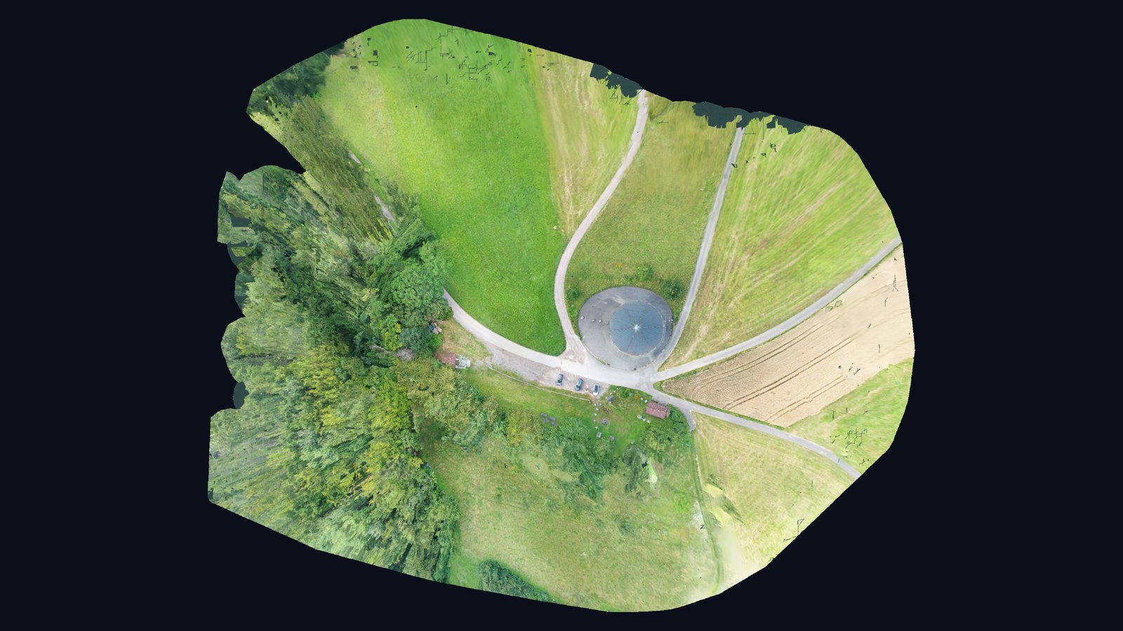
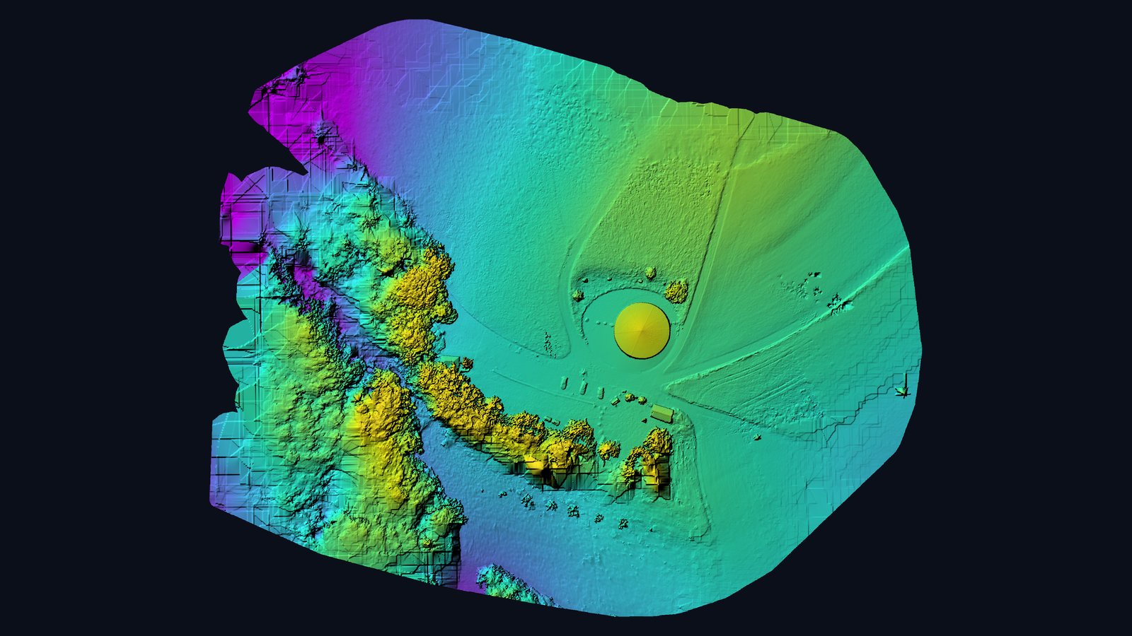
Pressure relief for the Waldshut power plant.
The surge tower (“Wasserschloss”) on the Haspel near Eschbach, part of Waldshut-Tiengen in southern Germany, belongs to the pumped-storage network of Schluchseewerk AG. The round brick building sits on a shaft that absorbs pressure surges in the headrace to the Waldshut power plant when gates open or close. The plant was built between 1942 and 1951. Next to the surge tower stands a mobile phone mast erected around 2012.
Short flight, extremely fine resolution.
The flight on 24 July 2021 took a quarter of an hour. All 104 images were reconstructed; at about 0.7 cm ground resolution the model shows masonry, roof structure, antennas and cable routes in detail.
As-built data for plant and mast operators.
For utilities and mobile network operators such a model replaces time-consuming site inspections: mast geometry, antenna positions and structural condition can be measured and documented at the desk — as a basis for maintenance, conversion planning or site surveys.
Sources on the site: Schluchseewerk AG: Waldshut power plant (German) · Wikipedia (de): Eschbach (Waldshut-Tiengen)
Views from the model.
Request a similar project
Describe your project briefly — we respond within one business day with method, output and a concrete quote.