Küssaberg Castle — digitally preserved.
The Küssaberg castle ruin above Küssaberg in the Waldshut district is one of the most important regional castle complexes from the 11th century. We captured it fully in 3D in 2024 — as an archive copy against weathering, as a planning basis for heritage preservation and as an immersive experience for tourism and education.
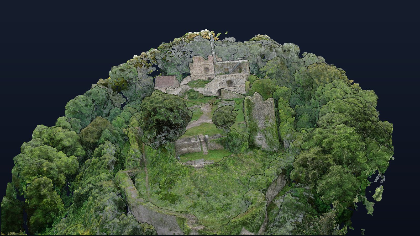
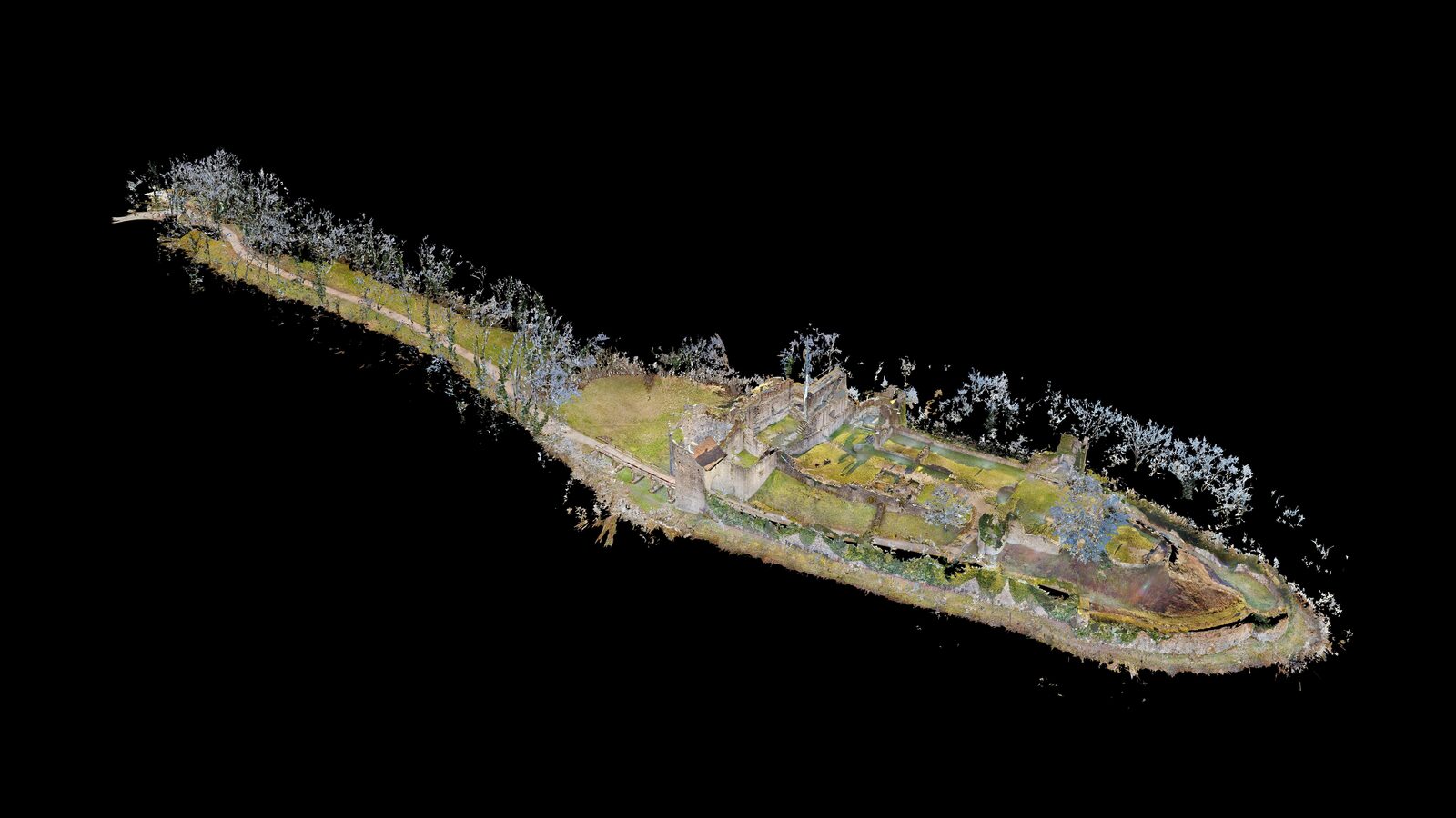
The entire castle from the air — as a 3D model.
From 1,182 drone images we computed a georeferenced 3D model of the entire site: walls, keep, moat and the wooded castle hill — rotate, zoom and measure it right in your browser. Plus the orthophoto as an accurate 2D map.
Figures from the photogrammetry quality report (processed 7 Oct 2026).
3D controls: left mouse button rotates, scroll wheel zooms, right mouse button pans. The menu on the left has measuring tools for distances, areas and heights.
Figures from the walkable tour (Matterport record, retrieved 15 Aug 2026). Each separately captured section — chapel, casemate or tower storey — counts as one area; the height levels result from the ruin's hillside position.
Experience the Küssaburg interactively.
The walkable tour leads through the accessible interior areas of the castle ruin — including the chapel, casemates and keep — and also shows the wall remnants and overall topography of the site in the rotatable 3D model.
Views from the 3D model.
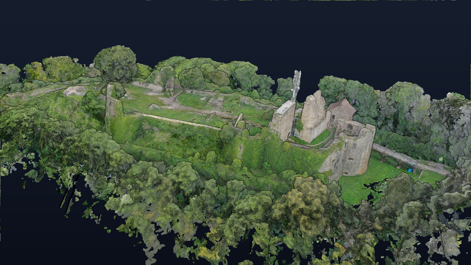
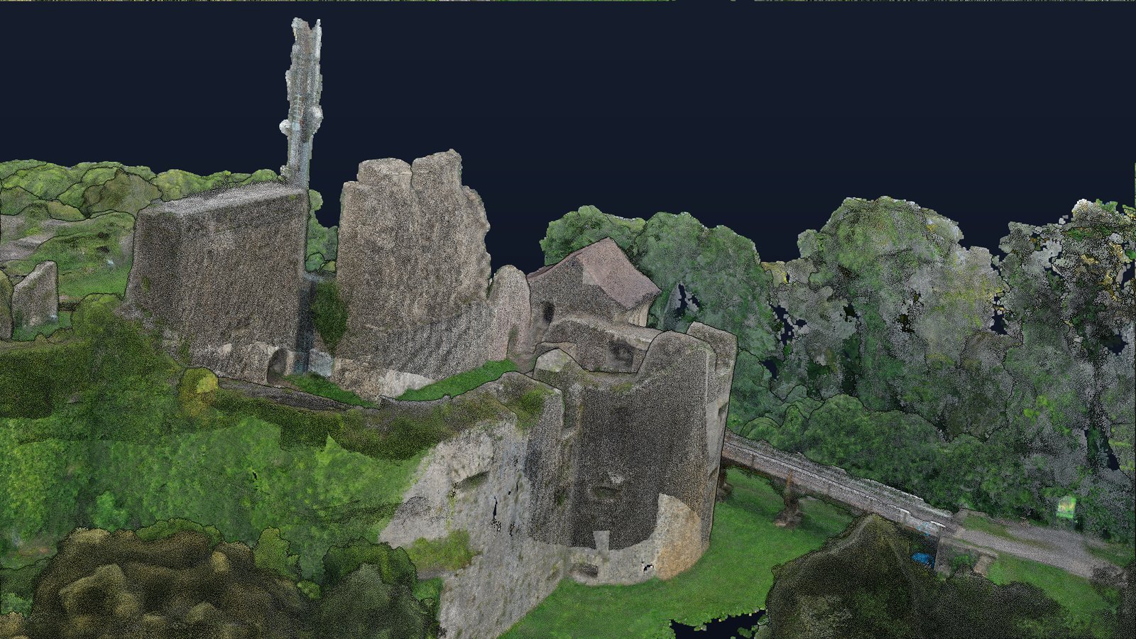
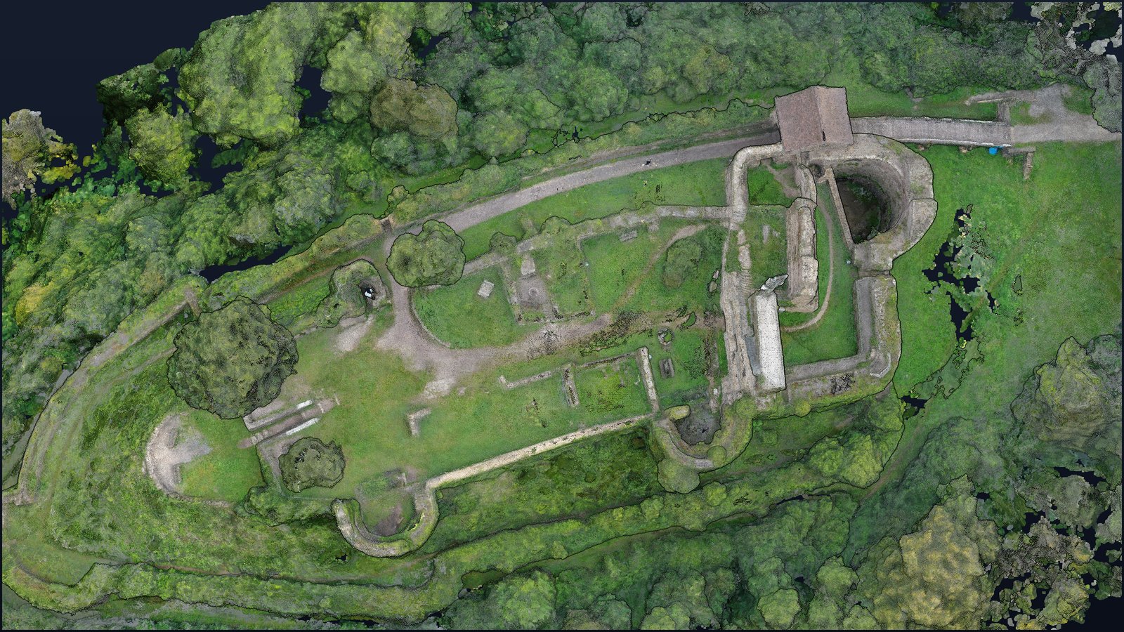
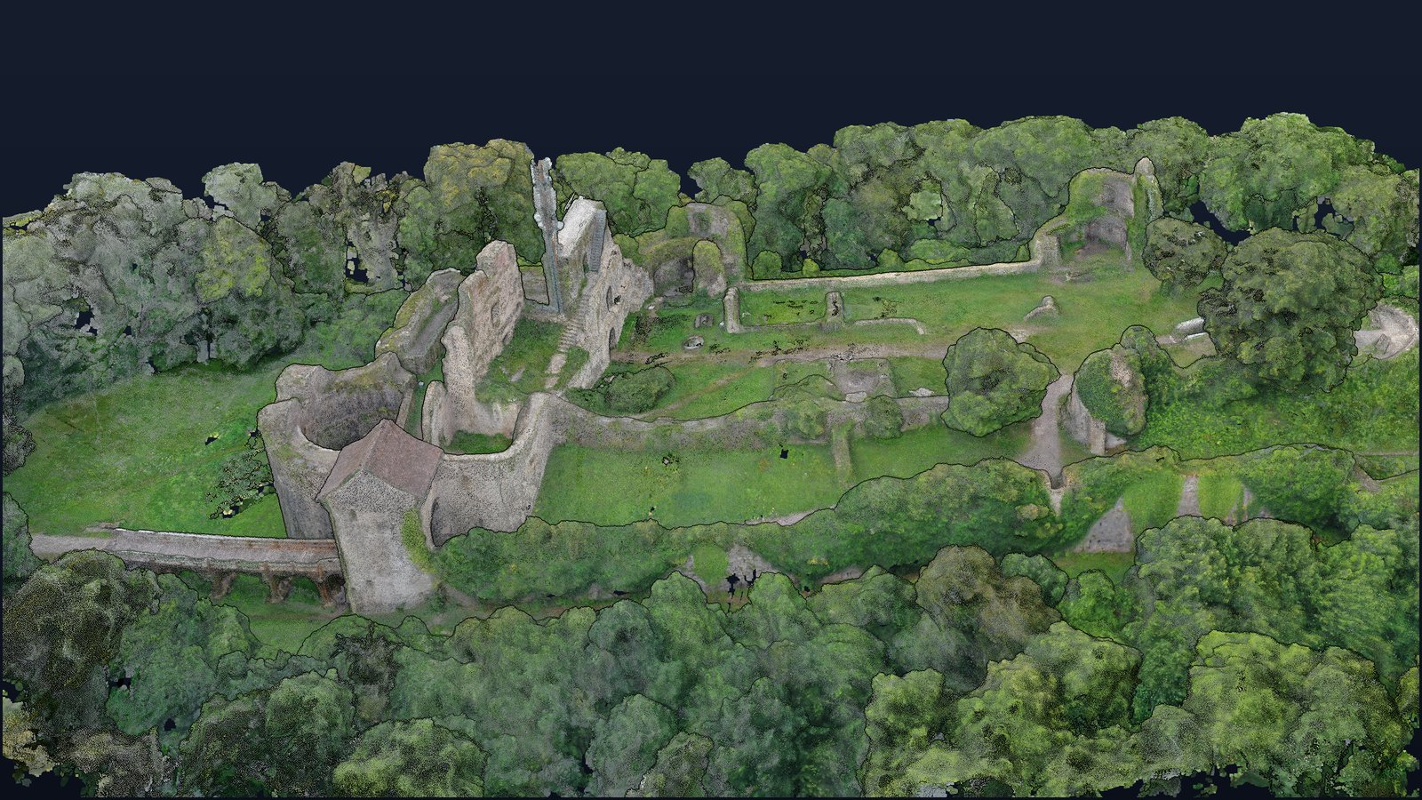
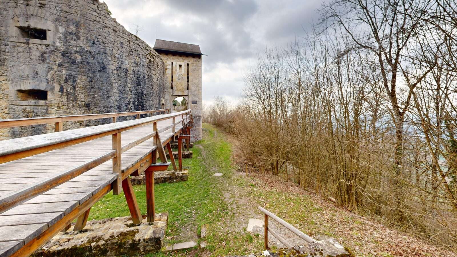
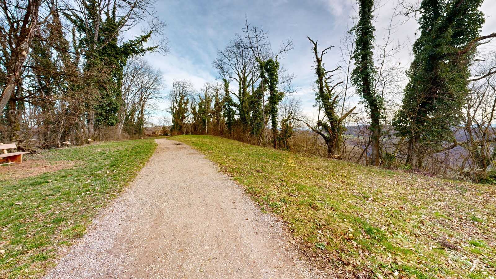
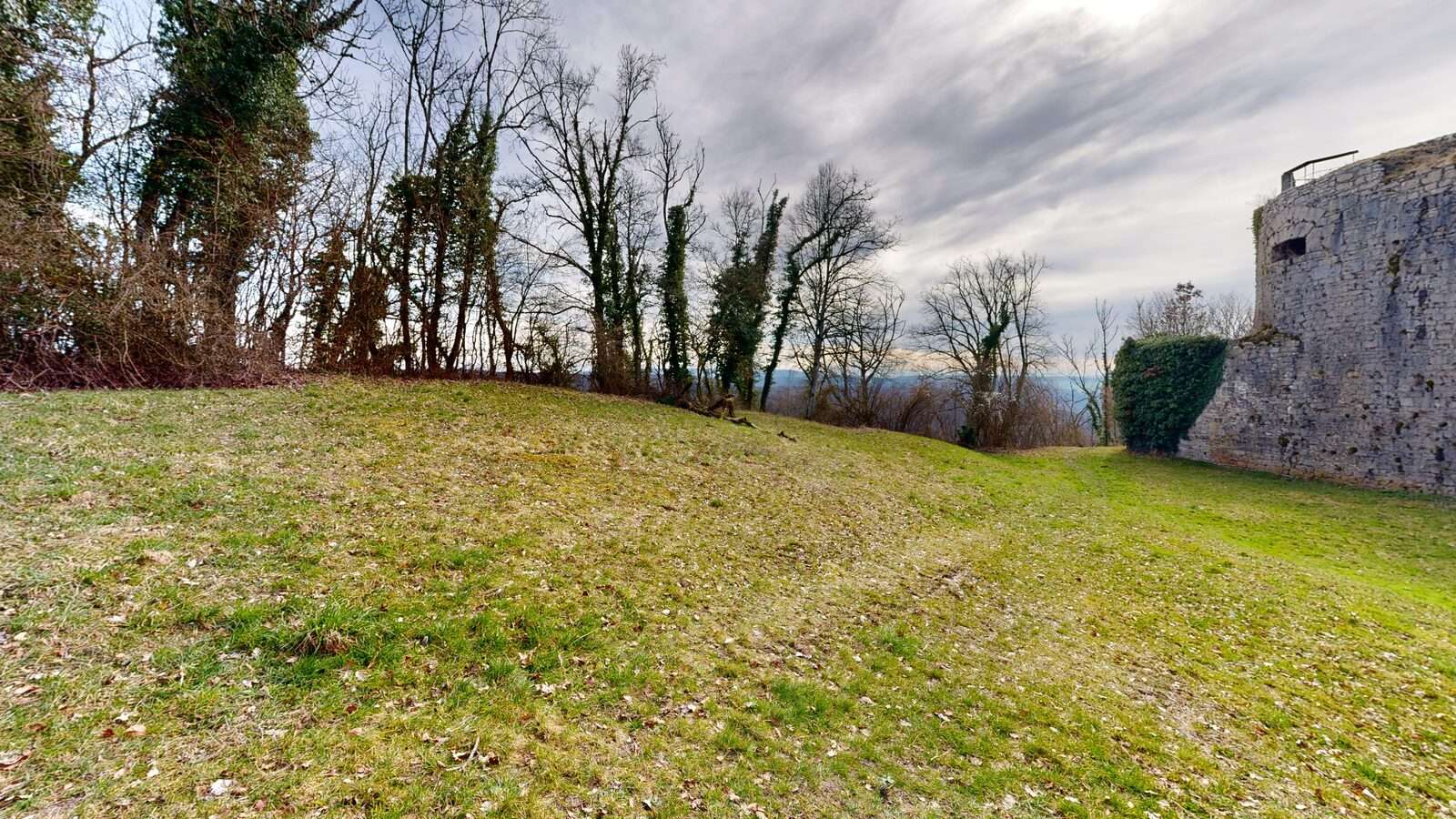
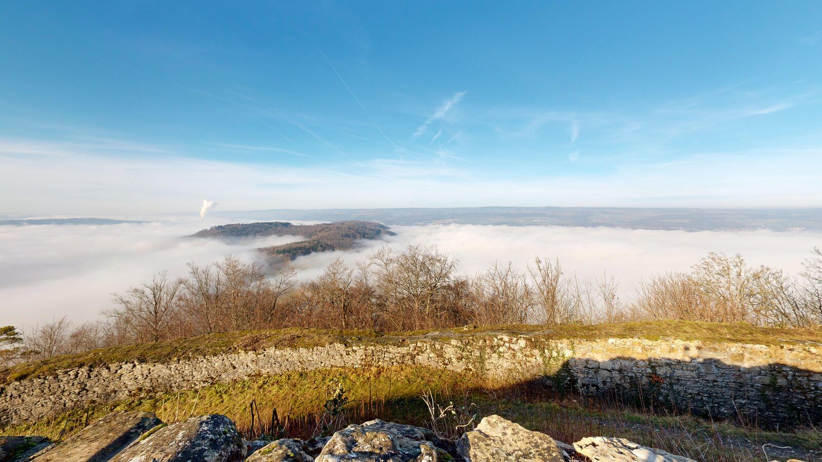
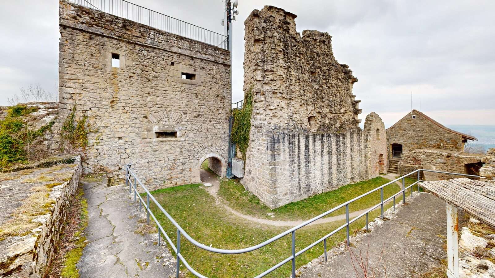
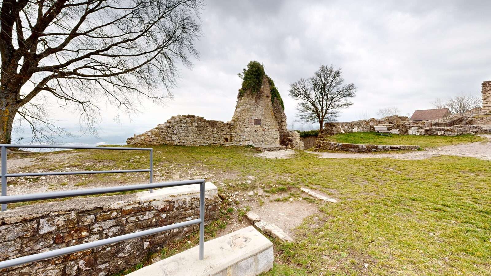
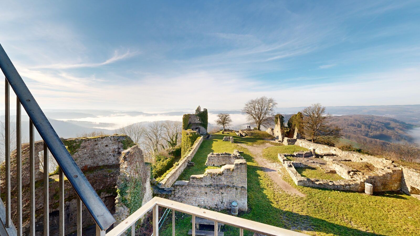
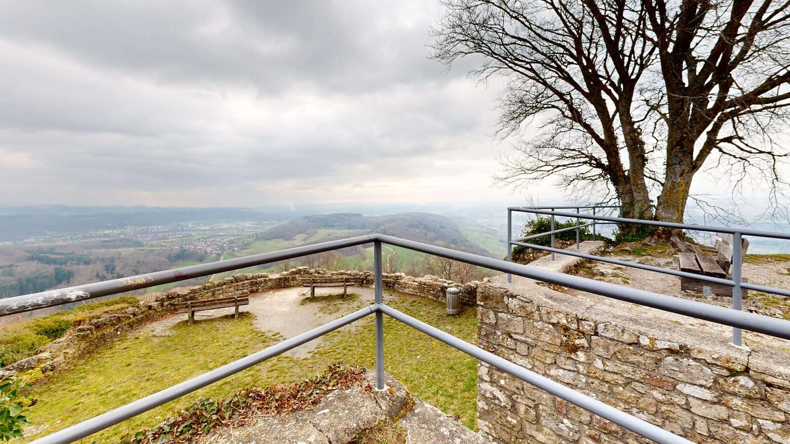
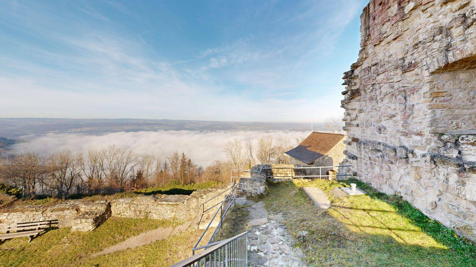
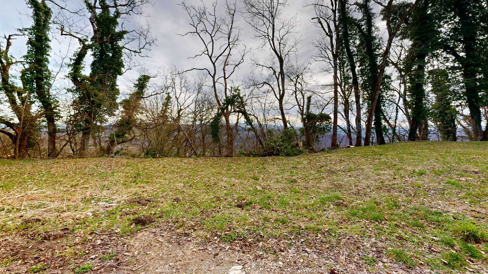
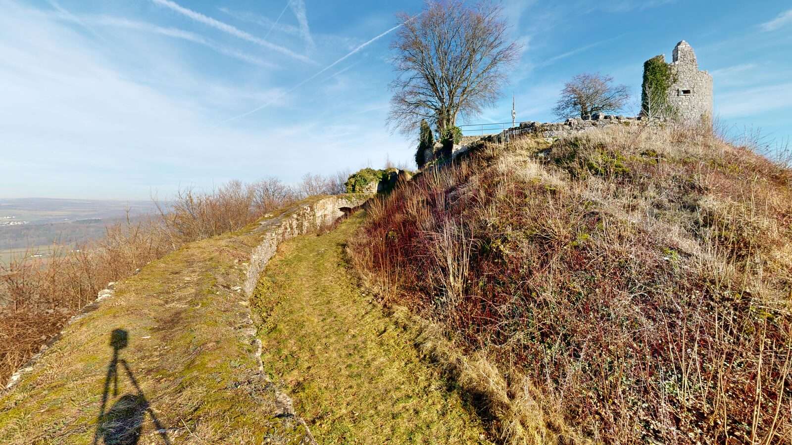
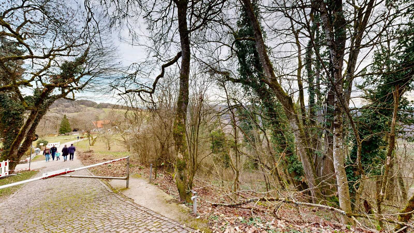
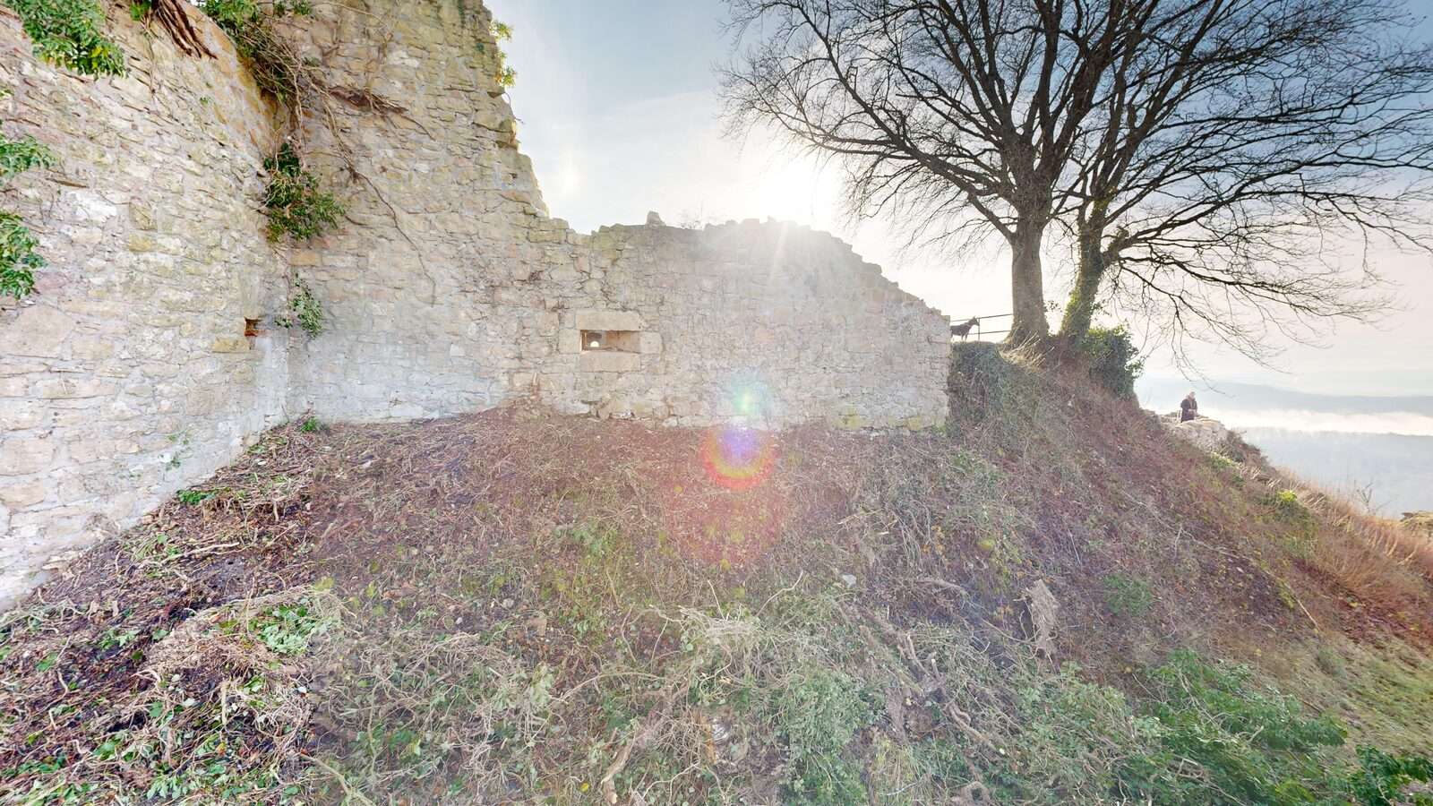
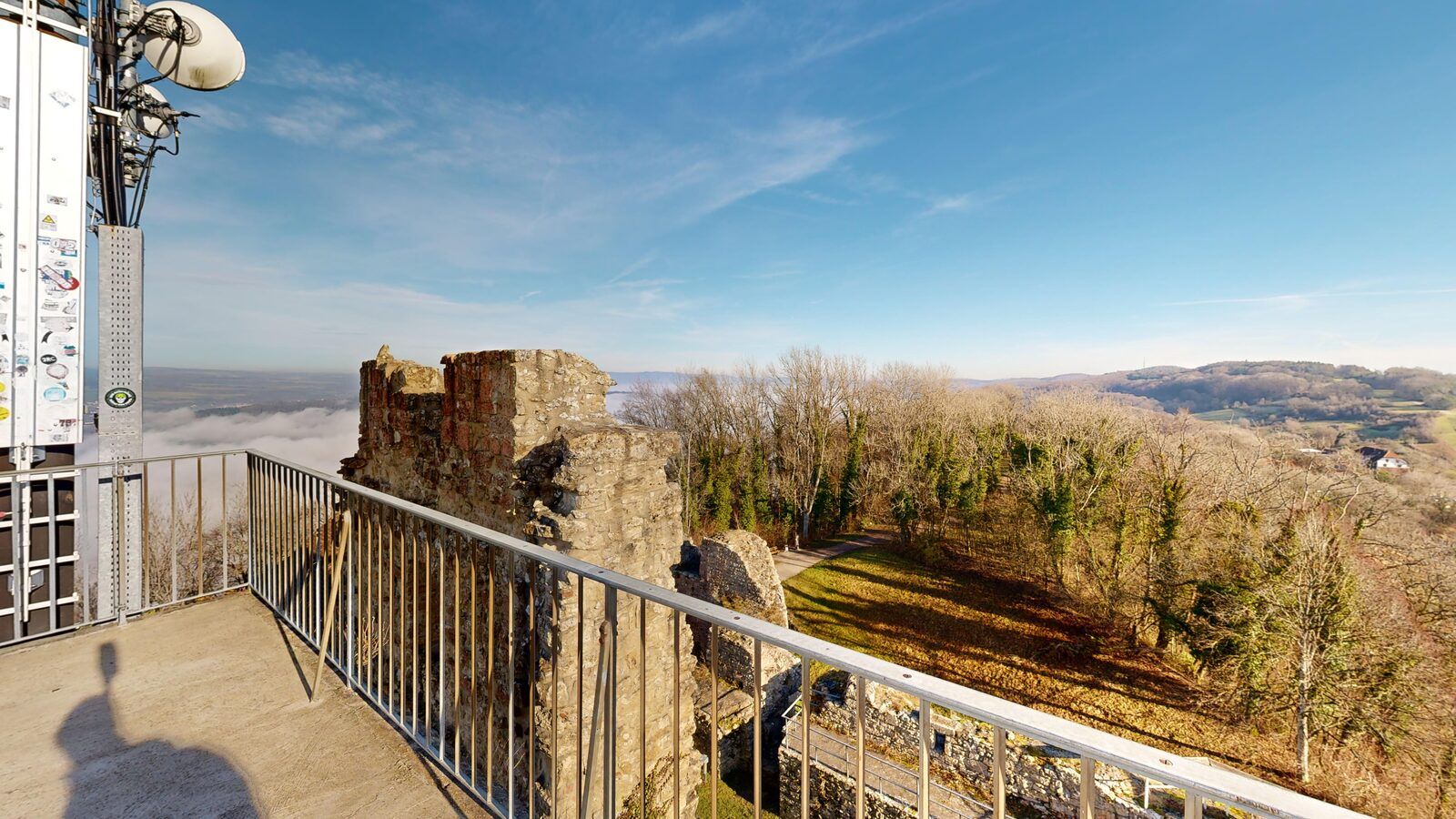
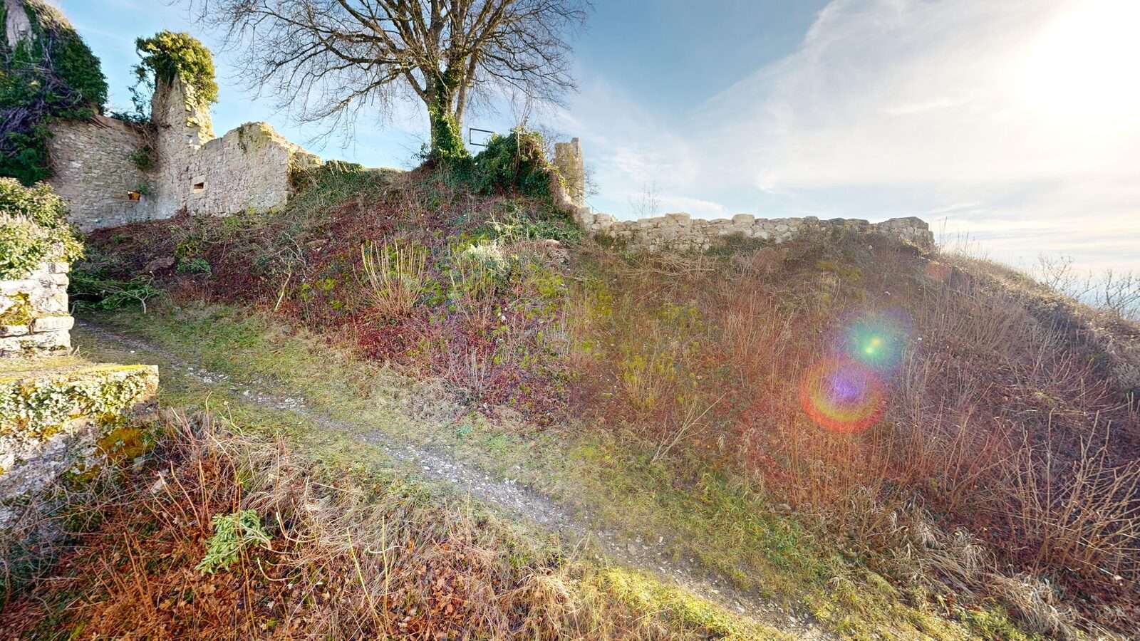
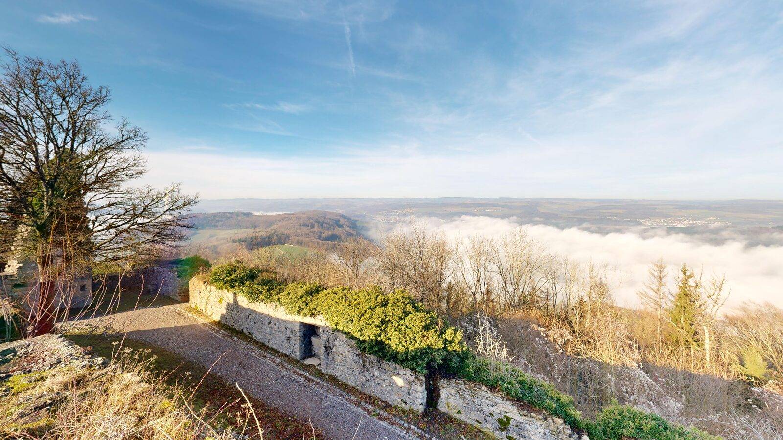
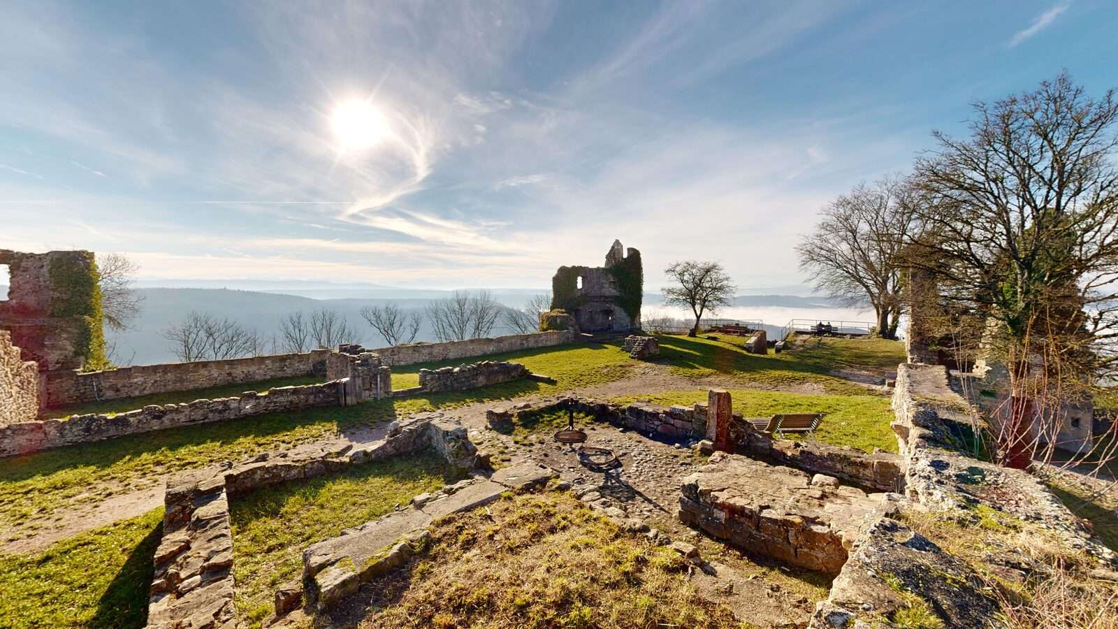
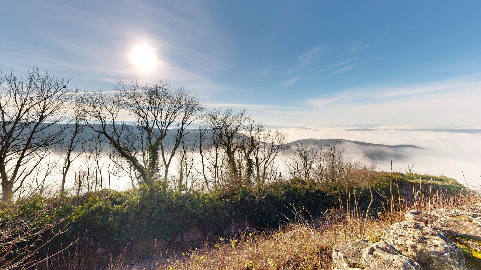
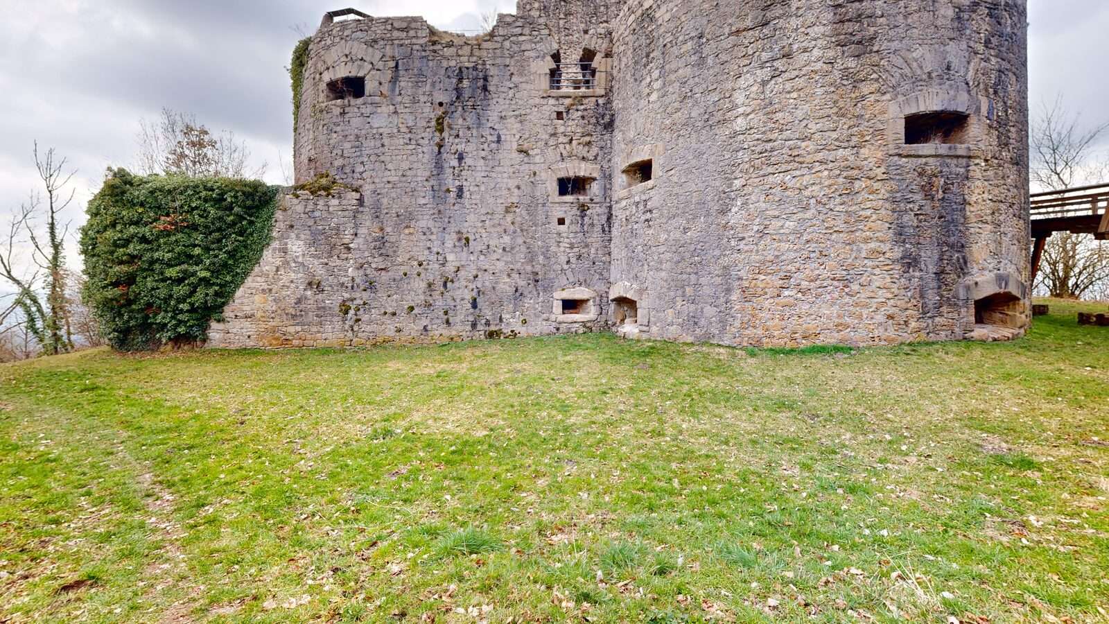
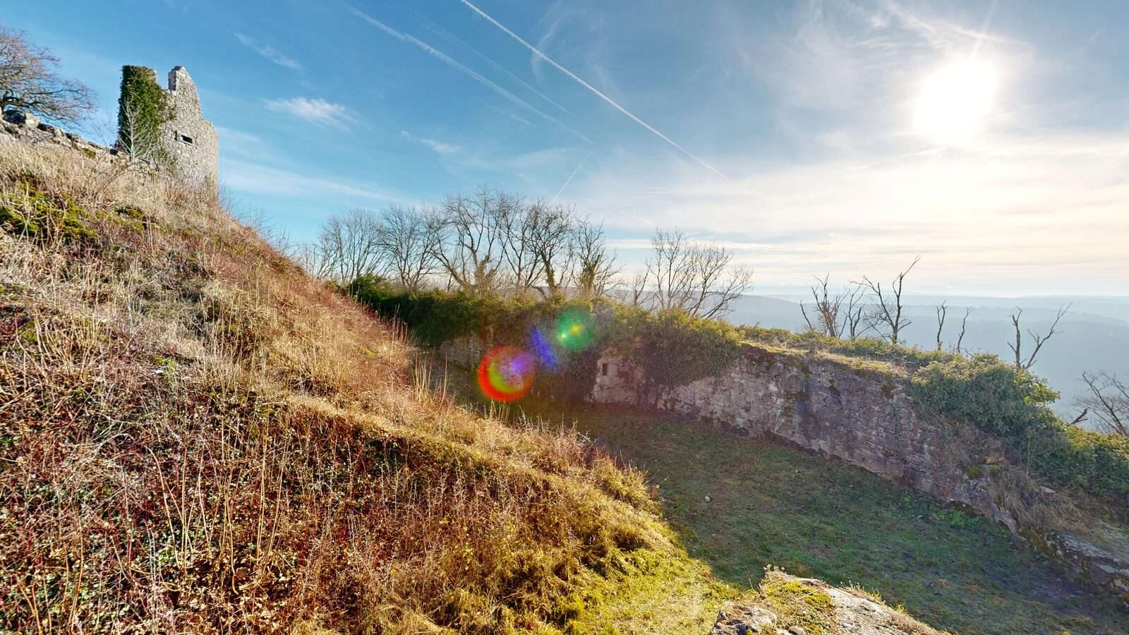
All images are taken directly from the walkable Matterport model of the castle ruin.
Recorded camera flythrough of the model.
Recorded camera flythrough of the captured 3D model of the Küssaburg castle ruin — a complement to the interactive tour above.
Download the 3D model.
The interactive online view is the walkable Matterport tour above. In addition, the full-resolution photogrammetry source data is available here for download — for CAD/BIM, 3D software, surveying and research. Each archive contains several capture states of the castle ruin.
OBJ · ≈ 561 MB
Mesh incl. MTL. Universal for CAD and 3D software (Blender, Rhino, CAD).
Download OBJProcessing report · ≈ 3.2 MB
Quality report of the drone survey (1,182 images, 105 million points): coverage, camera positions, accuracy.
Download PDFLarge files — best downloaded over a stable connection. Use of the data by arrangement only.
Securing a castle ruin in archive quality.
Castle ruins are constantly at risk — frost, subsidence, vandalism, uncontrolled vegetation. A complete 3D scan isn't "nice to have" — it's often the only way to record the state of the structure unambiguously on a given date.
The challenge at Küssaberg: heavily structured topography, wall remnants in varying states of preservation, vegetation in the upper areas, and the need to bring both the exterior façades and the walkable interior of the keep together within a single consistent, geo-referenced model.
So we worked in three layers: drone photogrammetry for overall topography and outer façades, Matterport Pro LiDAR for the accessible interiors, and handheld-scanner capture for the archaeologically valuable detail areas — preserving the current condition for heritage preservation and research.
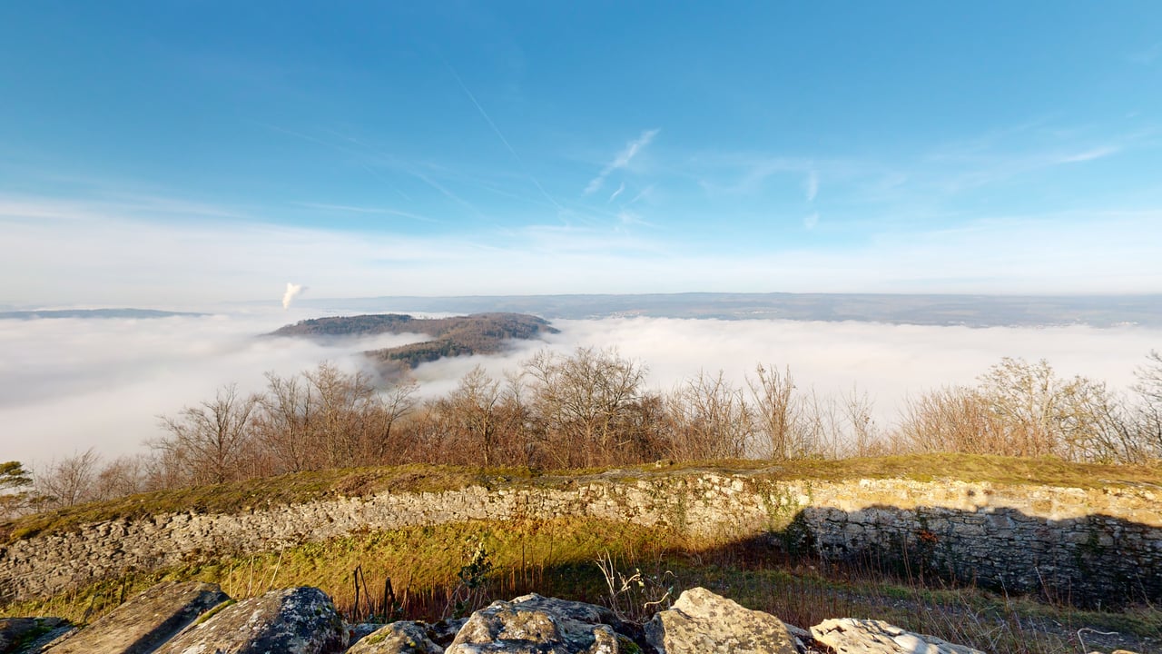
At a glance.
Our approach in 4 stages.
Drone flight
Photogrammetric capture of topography and all outer façades under diffuse light. Photogrammetric processing into orthophoto, DTM and textured mesh.
LiDAR interior
Matterport Pro scanner in all walkable areas — chapel, casemates, keep. Over 380 scan stations registered into a single point cloud.
Handheld-scanner detail
Sub-millimetre captures of building inscriptions, stonemason marks and erosion fronts — as documented evidence against further decay.
Handover
Matterpak bundle plus photogrammetry data package (orthophoto, elevation models, point cloud, mesh) plus separate detail meshes from the handheld-scanned areas. Fully geo-referenced.
An archive-grade data basis for heritage preservation and research.
Three capture layers combined into a single geo-referenced model with ±0,1 mm detail accuracy in archaeologically relevant areas — available as a Matterpak bundle, photogrammetry data package and downloadable formats (OBJ, FBX, PLY, GLB, USDZ). This data basis now serves as the reference for future weathering comparisons and heritage-protection applications.
We now have a data basis with which we can pull up the exact "before" capture on every weathering question. Previously there was no comparable reference — and especially in monument-protection applications this is worth gold.
Request a similar project
Describe your project briefly — we respond within one business day with method, output and a concrete quote.